-
• #2
Pot-holes per mile.
-
• #3
heart rate? I've been quite interested in my heart rate during rides lately.
-
• #4
Near-misses per 100 yards
-
• #5
swear words per mile.
-
• #6
If you mapped it by number of other cyclists seen per journey by area cycled in you could come up with some sort of density map... I think you'd need to do a lot of journeys to make anything coherent, and I think counting other cyclists whilst cycling is probably a bit sketchy in terms of keeping an eye on the road...
-
• #7
C-C or C-T?
-
• #8
By the amount of people trying to kill me. It was three this morning in a 7.5 mile journey. You could then map this onto the number of car drivers who are genuinely retarded
-
• #9
...there's a free download called iMapMyRide, it's a gps application for the 3G iPhone, connects up to MapMyRide.com
-
• #10
saw a video clip once over at NY MoMA showing incoming and outgoing flights (time of day and paths of every plane) over the US. i think same thing was done for (NY?) cabs. not original, but would be cool if you can do that with bicycles.
-
• #11
There was something like that on a BBC program a few weeks ago, all about the British publics movements, train journeys, trains, and cabs in London to name a few.
-
• #12
hmm I'm thinking of the slowed down pics where you see the car lights whizzing around all over the road systems over a town/city. That may mean we need a red light up our aspects...
How about we send in the routes/rides we use and how many times and you draw lines of those on a map and the more rides on the same routes, the fatter the lines become, use colours to denote each rider.
Well, sommat like that.....
Any old road up - you're the student- you think of an answer, its cheating if you use ours!
-
• #13
I was thinking something like that Diablo.
It would be interesting to see which is truly the most popular fixed highway.
-
• #14
El Diablo, you guessed my game already, that's something i've been working on since Wednesday, tracing all of my routes onto a map of London, if other people would like to contribute to this like El Diablo said i'd be very grateful, it would be a far more coherent map of London cyclists' route.

-
• #15
with a very long piece of string. or a yarn. or a ball of wool. but preferably string. or google maps
-
• #16
bikely.co.uk
-
• #17
I'm collecting a lot of journeys on a GPS. I would love to overlay these onto a map.
I've also seen some awesome 3D GPS HR mapped cycling routes using a load of combined cycling data plugged into a 3D map of mountains.
Kinda like this but better..
-
• #18
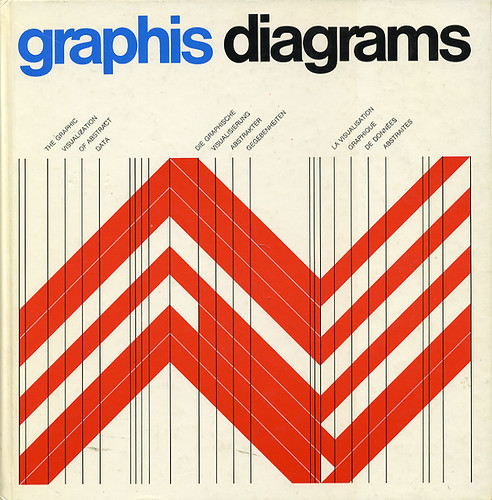
dangermouse - if you haven't seen a copy of theses then get amongst it

There's a flickr site as well
Graphis Diagrams –– 1974 on Flickr - Photo Sharing!

-
• #19
Mine get logged here with some hackery that I've been working on for my Edge:
I think it should be relatively trivial to do overlays onto Google Maps with each path -- I'll look at this when I'm not just finishing working overnight!
-
• #20
I would measure my cycling in Units of Love. I sometimes spring woodies on my way to work.
-
• #21
dangermouse - if you haven't seen a copy of theses then get amongst it

There's a flickr site as well
http://www.flickr.com/photos/insect54/2215924041/in/photostream/

We had a copy of this book at Brighton Uni.
It was fucking stunning - I've never been so excited by diagrams!
-
• #22
There was something like that on a BBC program a few weeks ago, all about the British publics movements, train journeys, trains, and cabs in London to name a few.
Britain from Above. Amazing series, if that's what you're on about.
@DM - I'm sure you could find some inspiration from there.
-
• #23
time lapse map of eCourier over 3 day period
-
• #24
Amazing. Fucking love that.
 mattmadegood
 aidan
aidan alockett
 Richard_Cheese
 Sam
Sam mikec
mikec town
town fatboyralph
 El_Diablo
 villa-ru
 dangermouse
 koens
koens StandardPractice
 hippy
hippy
 big_daddy_wayne
 rjs
rjs Donut
Donut dirkbang
 wools
wools pifko
pifko
Hello.
I'm a graphic design student doing a mapping project in relation to London. I've chosen to concentrate on a cycle-specific map to London and would like to hear the voices of London cyclists.
Whilst cycling the other day I thought of all sorts of different ways I could clock/measure cycling journeys such as pedal revolutions, braking distance, speed, distance, lanes, junctions, traffic lights, bridges, tunnels, etc.
I've started looking into GPS mapping (thanks Hewitt), and am thinking of all the different types of data I can collect and then transpose into a map.
Your input would be very helpful.
Thanks, Dangermouse