-
• #77
@ Harold, haha good on him. He's a braver man than me, actually going on the tube with the great British public.
I notice he had a pic of the original tube map on his blog. I'd be interested to know how he went about getting permission for that and how long it took. I'd like to post up the original tube map here as a comparison to mine, but don't want to break any copyright and had heard TFL were fiercely protective of it.
@Fasih, I can't see your route, there's just a blank space? Could be my browser I guess. (firefox?)
I've only done a rough draft of the Piccadilly line and it came out at 70 miles. I'm a bit unsure of the Heathrow section, I had planned to ride round the whole site anti-clockwise, see here
http://ridewithgps.com/routes/3859183
But I'm glad you are doing the recce, I'll await your feedback and maybe change the route accordingly. I hope you have better luck than last time. -
• #78
^Ha, and now my links not showing either, confused....ridewithgps 'trips' show fine, but it seems to have problems displaying the 'routes'?
-
• #79
That is weird. I find firefox is better for plotting the route, but chrome works fine for viewing.
Our routes don't differ by much actually. I know the west side of the Heathrow branch of Piccadilly line really well. My office is just by Terminal 4, and I pretty much cycle to and from Hammersmith most days. So I have used some local know how plotting my route, cutting through a car park, or going for faster roads, over shorter routes. One significant difference is on your route to Uxbridge. From Ealing Common you have opted to use the cycle path up to Park Royal, that stretch can have glass on it, plus it isn't very quick. Instead I opted to go through the industrial estate, which is usually ok on the weekend since most of the places are closed, it adds a few kilometers, but it is really fast rolling. I use that route to get up to South Harrow on occasion.
-
• #80
Well I made it to Uxbridge - just about. Started the day early enough left home just a tad before 8am, the roads were nice and clear through the city. Got to Liverpool Street 8.32 having just missed the 8.30 train to Enfield was not in any rush so quite happily had a coffee and a bite to eat and waited for the 9am train.
The cycle from Enfield to Cockfosters took about 20 minutes, getting me to Cockfoster for just a bit before 10am. Took a snap and set off.

Pretty much easy going and downhill mostly, the first big hill was the climb up to Southgate. Not a problem whizzed up most of the way, the last quarter had me off the saddle pumping. No problems getting up to Arnos Grove long slightly inclined climb, stopped for a photo.

Then basically went non-stop till Arsenal, only slightly built up around Wood Green, and the ride up to Manor Park. Otherwise the roads were still quiet.

Holloway Road was busy as normal, lots of lights and the crawling buses. But once I turned on to Caledonian Road was able to make up some lost time, until Kings Cross of course. Wanted to take a picture passing, but it was too busy to stop. Got to Russell Square a few minutes later, took a photo.

Then I was pretty much easy going around the center hitting all the stations until Earls Court, where I stopped for another photo.

North End Road was closed for re-surfacing so had to use the back roads to get up to Baron's Court. Kept on till Hammersmith took a photo moving taking the turn into Kings Street.

By now it was coming up to nearly 12pm, so I figured I would stop at Artisan for a quick coffee.

Set off again, heading for Acton Town. Again no problems on Chiswick High Street, however Bollo Lane was solidly congested because of road works on Acton High Street. I kept in traffic for a few minutes, before deciding to go down the on-coming side. Once on Acton High Street no issues. I missed my turn off and used the cycle path along Hanger Lane to get North Acton. Then carried on my long way around to Hanger Lane. No traffic at all in the industrial estate.

Now this is where things started to go badly. On the A-road from Hanger Lane up to Alperton. My chain started to skip gears, plus was starting to make a noise. I stopped to check it out, figured it was a stuck link. I stopped to have a look at the chain. I just did a slow rotation of the chain looking for it to jam. It didn't so I carried on. Past Alperton station on the climb up to Sudbury, had to go on to the small chain ring. The chain racket started again, on the incline on a busy 40mph road my chain snapped again. Luckily the climb I was on had a wide side area so I could pull over, and I didn't have any cars immediately behind me.

Typical. I know it has been two weeks since the last problem, and that chain has been fine on my commute the past couple of weeks. However I don't really do any climbing, plus I had checked the chain for wear after the last incident, and it was not strecthed. Should have replaced it sooner, I have now ordered a new one since I can't afford it to fail like that next sunday when I am riding the London-Oxford-London audax.
Any way it took me a while to fix the chain, by now it had gotten colder and the wind was blowing harder. Fiddling with links and pins is not easy in these conditions. It was nearly 2pm when I ready to resume the journey. I decided that I would carry on to Uxbridge, but not push it too hard.

Once I got Sudbury Hill I mounted the phone an activated the GPS since I wasn't full sure of the route from this point. I managed to miss a turn almost straight away, which caused me to have to re-route along the A312.
Then I managed to miss another turn, luckly I didn't go to far to turn back this time. Unfortunately the wind had picked up a bit more, and it had started to rain.After Rayners's Lane it was pretty much a straight route, the road signs were enough to keep me going. I finally managed to make it to Uxbridge around 3.10pm, I managed to go further along the one way putting me at the other end of the high street, so I had to walk my bike to the station.
This actually worked out since there was a Greggs at the top of the High Street, so I grabbed another coffee and a pasty. Before getting to the station and taking the final photo of the day. Figured I would take the tube back to Acton Town then cycle it home.

I will do the Heathrow section tomorrow after work. It's only a couple of extra miles on top my regular commute.
-
• #81
@ Harold, haha good on him. He's a braver man than me, actually going on the tube with the great British public.
I notice he had a pic of the original tube map on his blog. I'd be interested to know how he went about getting permission for that and how long it took. I'd like to post up the original tube map here as a comparison to mine, but don't want to break any copyright and had heard TFL were fiercely protective of it.
To be honest, I doubt he did anything official, just put it up. TFL are so disorganised the chances of someone taking affront at a forum thread and nil.
For your map drawing project, I have the GPS coordinates of all the tube stations which I should be able to easily over put on a satellite photo, or give to you to do. Actually if you can give me the GPS data of your rides then I might be able to do that too. This claim is assuming that all the data is in the same format I'm used to using, though the chances of this happening are slim. Could possibly take just half an hour though.....
-
• #82
@ Fasih, not another chain snap! Otherwise it seems you had a better run than last time, and your photos are much better than mine. At least you'll be prepared for anything an audax can throw at you.
At least you're never too far from a bike shop on this project. I wonder if there is a map with all the bike shops inside the M25 or N/S Circ. It may have been done already. That would be a useful app/map.
And cheers Harold, the gps co-ordinates on a satellite photo would be interesting to see. I have all the rides in gpx format at the moment but they are on my laptop in London and I'm up in sticksville Wales until Sunday. If you're happy to wait until then and want a have a crack that would be great, assuming its a format you are familiar with.
While up here I met an old friend who I told about this and he may be able to help with some map stuff as he's a whizz on Mac's, so I've got to send him the gpx's when I'm back in town.
The bad news is here in Wales it appears to have stopped raining for the first time in months, its going to be lovely and sunny over the next few days and I have no bike, boooo. Gardening and mowing my mums garden is all I've done to stop muscle atrophy, and tonight I'm going out for some good old fashioned binge drinking, again, yay. Its the kind of the training camp David Icke or Glen Hoddle would come up with.
-
• #83
On reflection I should have gotten rid of that chain weeks ago. It's only 11 months old, but I have done many miles on it. 10speed chains wear quickly apparently. Used the wear tool at my LBS it is now clearly over the mark, where as before it was fine. New chain should be in today, will pick it up tonight.
^On a sunday, lots of the little indy shops don't bother opening. So that really only leaves the big-chains. Either using Yell or just googling Evans does give you the stores nearby, unfortunately the options were Chiswick or Hendon. I didn't try Halfords, but actually I passed the one at Hanger Lane so walking back was a possibility, though it was a good mile walk though.
-
• #84
Sorry not had the time to write these up yet, so here goes. Having done no cycling for 10 days when I was in Wales I was shying away from the centuary needed to do the Piccadilly line, so I wanted a slightly easier refresher for the legs. I was going to save the ride until the weekend but the weather was so nice on Thursday I made a last minute decision to start the Overground lines.
Thursday 13th March
I cobbled together some instructions and headed out to the first line of the day, Euston to Watford Junction.
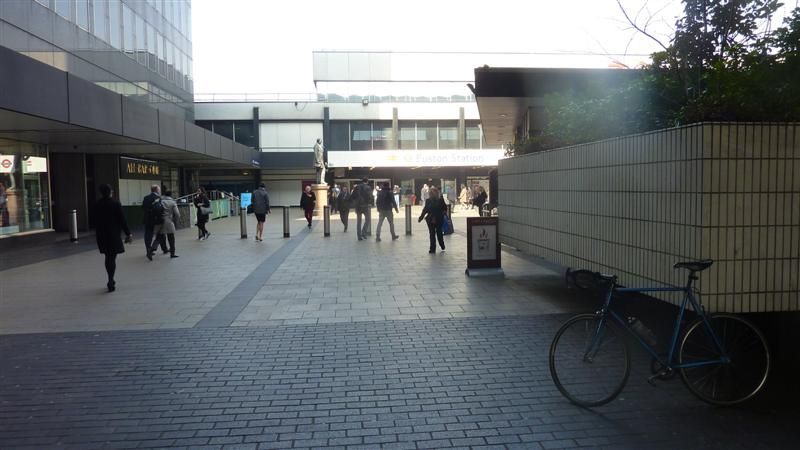
To be honest having already been out to Watford, and being sick to death of the sight of Harrow & Wealdstone from the Bakerloo line debacle, I just wanted to get this one out of the way.On the plus side Spring has offically sprung, not hot but sunglasses weather, and the knobbly knees were unleashed in a show of dazzling relecto horror, sorry London. Its amazing the difference a bit of sun makes to a city. The winter grumps are over, there was more smiles, drivers seem more courteous and car and house stereos were pumping away to the sounds of summer.
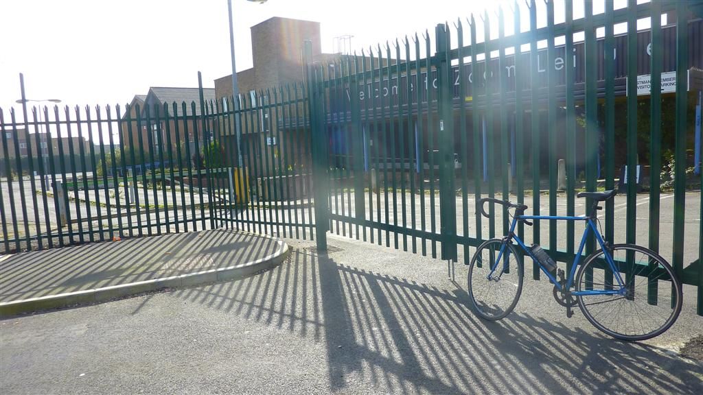
This time I promised to take more photos, but as you'll see I'm not sure it was worth it. I was quite taken by the massive deserted 40 acre site formerly owned by Kodak, a testament to the demise of film in the digital age. So that seemed an appropriate opportunity........to take a photo proving that although the market decreed digital 'won', most of the photos taken with them are awful. What I could see but have failed to capture, is that although there are no signs of any developers, the plants don't need planning permission and wait for no-one, so they'd already started moving in.
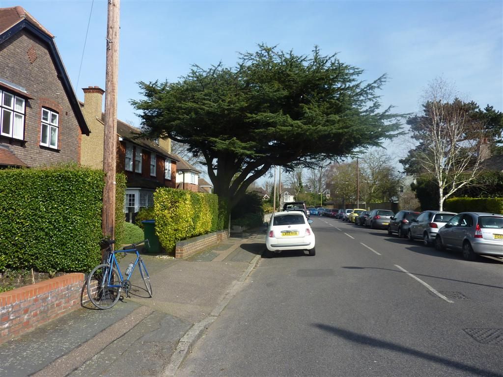
The burbs, Cedar Road near Bushey, I hoped this cedar tree had given the road its name.
It is clearly a massive oversight that London does'nt have a Potholed Street/Road/Avenue/Gardens yet, or even a 'Is this even a road Road'. I think the Council's have decided to let the roads erode back to the Roman layer, buckling a rim on a part unearthed roman centurian is becoming a real possibility.I had to muscle my way round the Watford one way system which was'nt pleasant, but otherwise got to Watford Junction without any wrong turns.
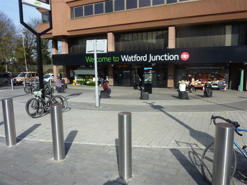
Brief flapjack stop before heading off to the start of the 2nd section of the day. A few miles of climbing from Chalk Hill to Stanmore Common stirred the lung butter and reminded me my hill legs were on another hill, in another time. I decided to go via Stanmore to take a pic of my bike there which I'd forgotten when doing the Jubilee line. I did'nt do photos in Wimbledon, Olympia, or Ealing Broadway on the District Line branches either, so will need to do those too, not that they're going to be part of the map, just for completeness/pointlessness.Gospel Oak for the start of the Gospel Oak to Barking branch
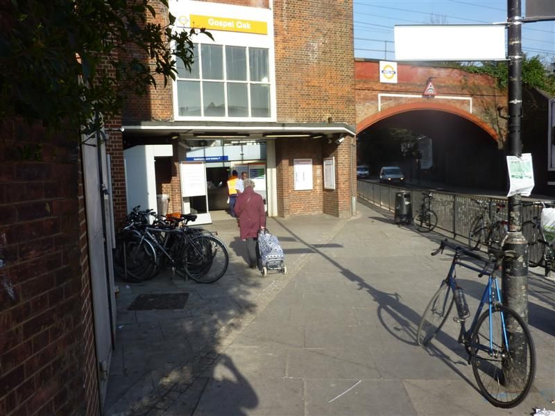
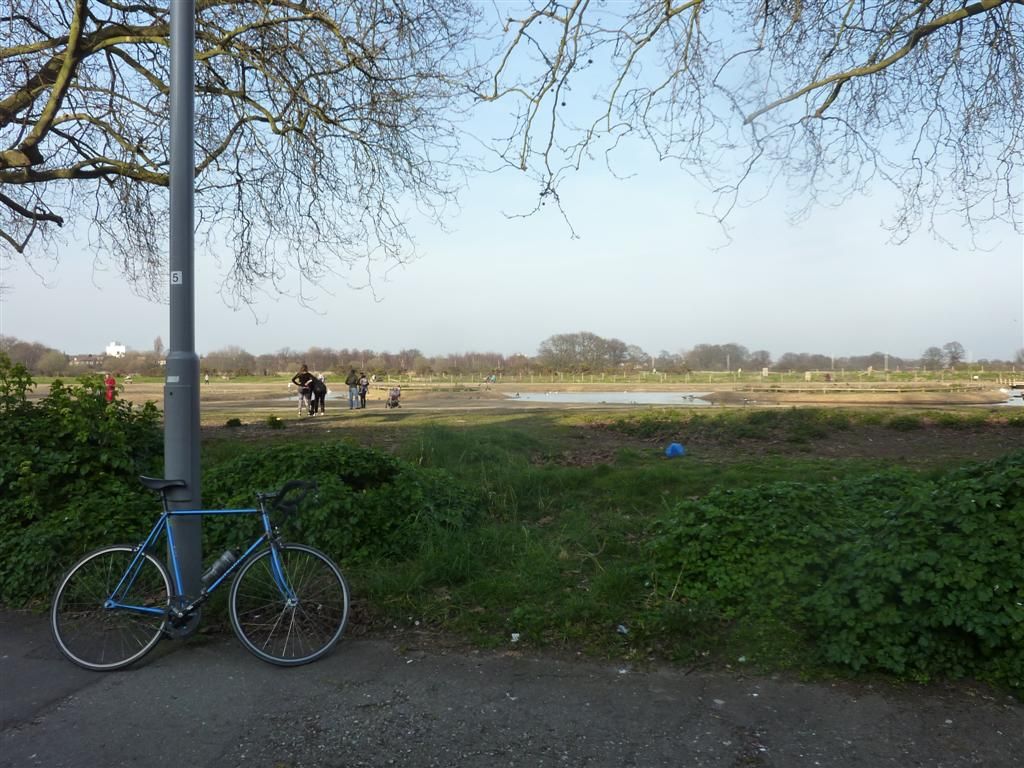
No problems on this bit, the sun kept on shining, even making wilderness east London look nice
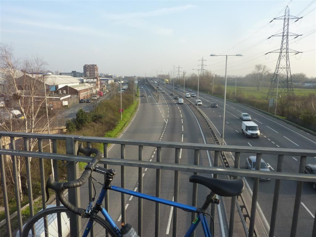
Oooh a road, have'nt seen any of them yet
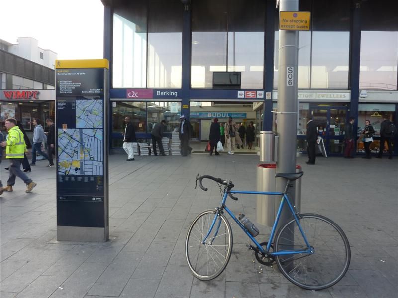
Barking, again.
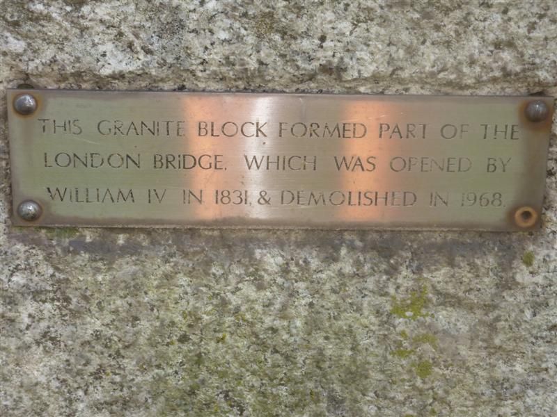
I stopped briefly for a flapjack here just seeing the boulder as a good stopping point.
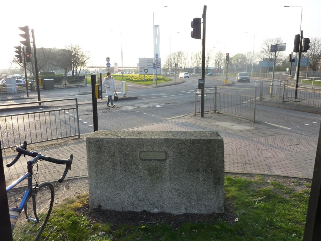
The little plaque on it close up
A good example of how London is full of things you can go past and not even notice.All that remained was the ride back to town. I was a bit tired of the zigzagging through the A-Z so quite fancied the dull but mercifully straight CS3 which started down the road. It was only 1 junction so I thought I'd take the A406 but after going down the sliproad I was met with no cycling signs. It was about 5pm and very busy, a good sign really as the traffic was going at boris bike pace, so I decided to go for it. It was fine as I just filtered my way through going faster than the traffic, but there is no run off area or hard shoulder of any kind and the roundabout is a 5-6 lane shit fight, so just don't do it folks, not recommended.
I arrived home very hungry. Despite carrying plenty of food with me all day I'd only eaten 2 flapjacks since breakfast, which after 76.3 miles for the day meant I pretty much ate the rest of the food in the house when I got in.
Overground 3 Gospel Oak to Barking, 12 stations. http://ridewithgps.com/trips/2338449
Overground 4 Euston to Watford Junction, 19 stations. http://ridewithgps.com/trips/2338455
*Friday 14th March. *
I had planned to finish off the overground but had'nt recce'd or made any route notes, which is so time consuming. This is where the satnav owners save time. I've mostly had pretty accurate notes so I don't think owning a Garmin makes the rides any faster, but I've spent bloody hours writing notes and looking on google maps. So by the time I'd written up notes for 1 branch, been to get some food and got ready it was gone midday. So I settled for 1 branch. Clapham Junction to New Cross, then down over the mountains down to West Croydon, then back up through Rotherhithe Tunnel to finish at Highbury and Islington.
Clapham Junction
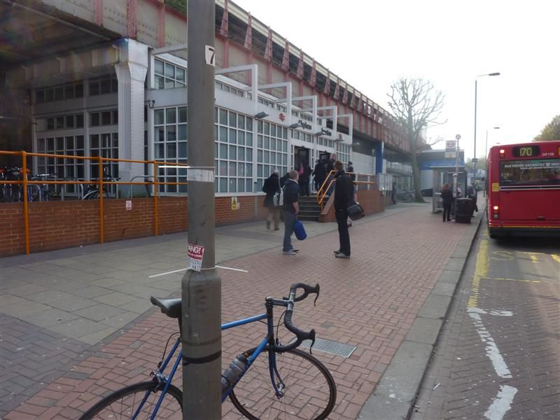
Jermingham road was the days introduction to climbing and it ramps up quite fiercely, needing out of the saddle honking. My efforts were however totally overshadowed by a young bloke roller blading down from the top, backwards! The group of transfixed builders near the summit looked disappointed he made it the bottom without stacking it. There would be nothing left if he had, just a 50 foot slug trail of clothing, flesh then bone.More steep ramps up and over Forest Hill and Honour Oak, which I had to do out and back, but I knew that was the worst of it. I arrived at Forest Hill in the aftermath of a bad accident, the police were already there. The bus stop on the other side of the road just up from the station was destroyed, seemingly by the blue Renault Clio in the road with a mangled front end that had high speed impact written all over it. A guy lay on the pavement by the bus stop, being treated by 2 paramedics and it did'nt look good. A crowd had gathered and some were taking photos of the poor guy as he lay there motionless. That behaviour sets the bar so low I had one of those despair at your fellow man moments. On my return leg the road had been taped off, there was still loads of police around and they had a young guy in cuffs. I hope the injured guy and anyone else involved is OK.
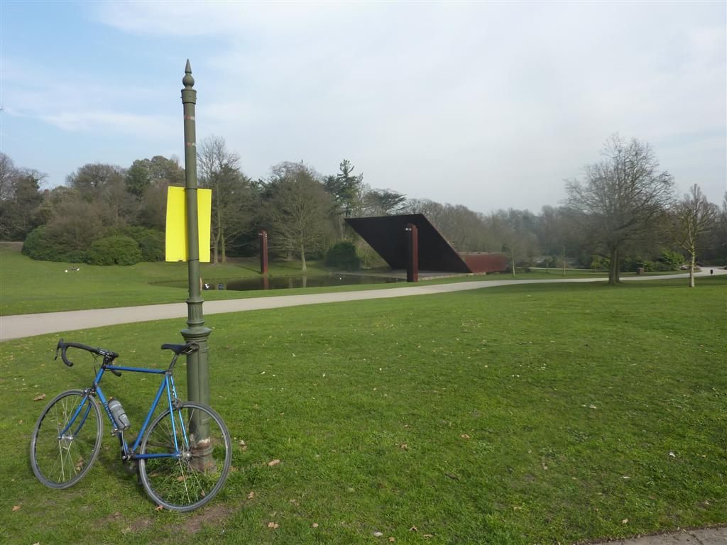
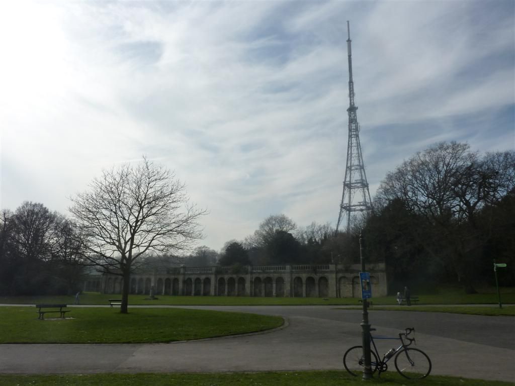
I was'nt really feeling the snap happy photo thing after that, but Crystal Palace provided a moment of serenity in a day of traffic, so I forced myself.
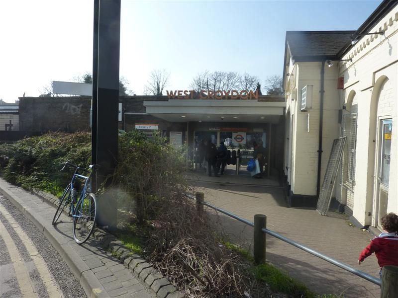
West Croydon, tram country, watch where you put your wheels. No hanging about so straight back towards the known world.
There were a few minor straying from the path moments but they were quickly corrected. I had the fear again that my GPS would crash going through the Rotherhithe tunnel, but I checked when I returned to the surface and all was good. I was concentrating so much on my front wheel on the cobbles of Wapping High Street that I went straight past the station without registering it, then did a pointless loop looking for it before discovering I'd been past it already, le shrug.
Route end, Highbury & Islington
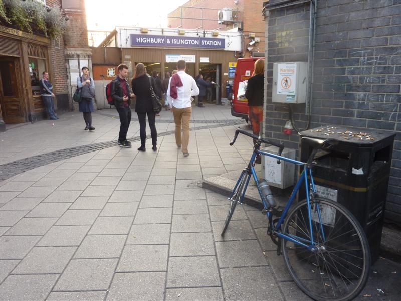
Overground 2 Clapham to Junction to New Cross, West Croydon, back up to Surrey Quays, through Rotherhithe Tunnel to Highbury & Islington. 29 stations http://ridewithgps.com/trips/2341571
Miles for the day = 58.1Saturday 15th March
Today was the final line of the Overground from Stratford via Willesden Junction to Richmond, then back up to Willesden before finishing in Clapham Junction. So quite an easy day, the climb up to Hampstead being the only lump, but not enough to cause any high altitude nosebleeds. The wind was up today over the previous days, I had a headwind all the way from Stratford to Richmond.
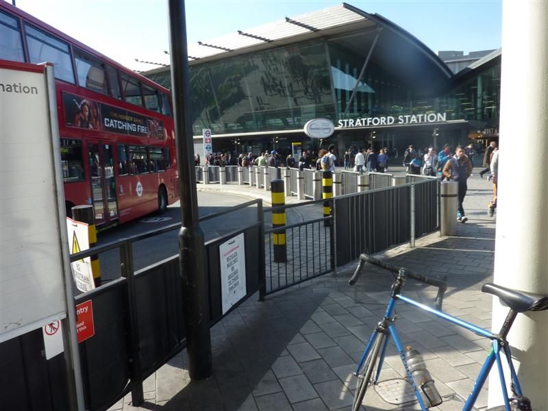
I got confused around Acton, I thought I was on Acton Lane, then instantly I was'nt, then was and quickly was'nt again. I lost all sense of direction and had to check the A-Z.And this made me double take, it was'nt real.
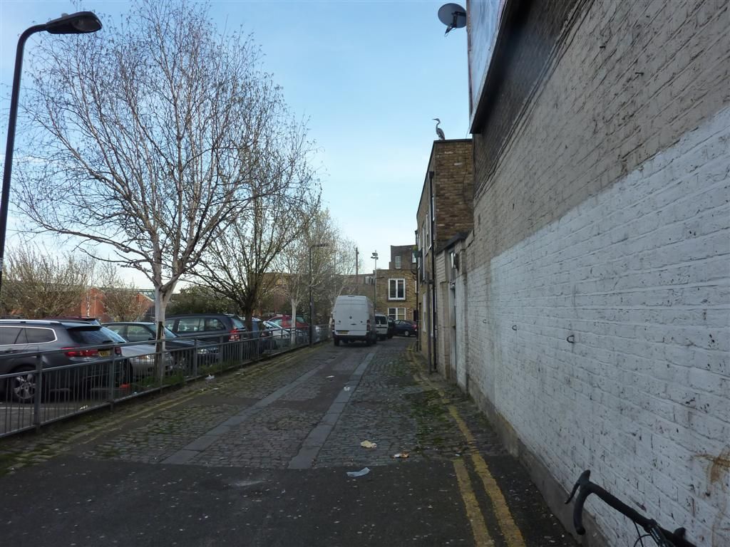
Richmond
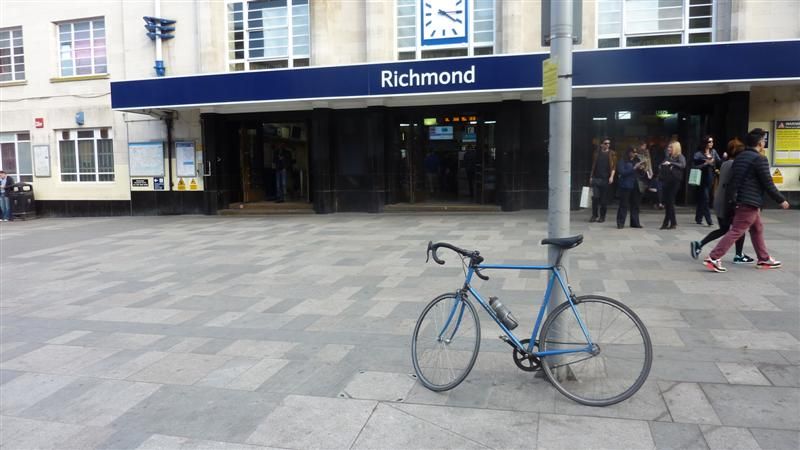
Clapham Junction
Overground 1 from Stratford via Willesden Junction to Ricmond, back to Willesden and finishing in Clapham Junction. 28 Stations
http://ridewithgps.com/trips/2345908
Miles for the day = 56.4A nice easy day that went according to plan. So the Overground is finished, all 80 odd stations done. I could'nt have asked for better weather, I barely saw a cloud for the 3 days. Total mileage for the network, including getting to and from home was 190.8 miles with 8581ft of ascent, quite a lot when you've only got 1 gear.
That takes the total distance travelled so far to 740.5 miles, and apart from the Metropolitan line section to Amersham, and Chatham, all within the M25, tragic. All done on one bike, my trusty single speed Mercian, and I am pretty amazed I've only had 1 p****ure so far, though now I've mentioned it I'll take extra tubes next time out just in case.
The mountain of cardboard from the directions is mounting. I was going to frame all the directions as a memento but I think I'm going to need a bigger frame. I also took these pics which I'm thinking or trying to incorporate, either as a frame or border or photoshop them in some way.
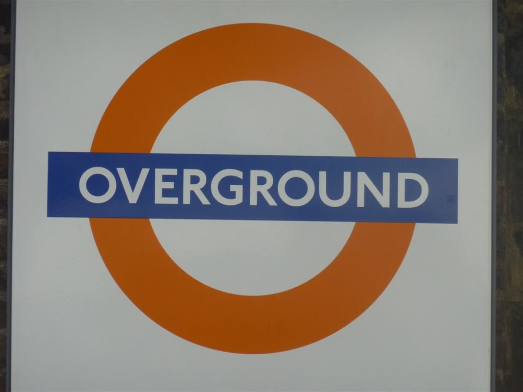
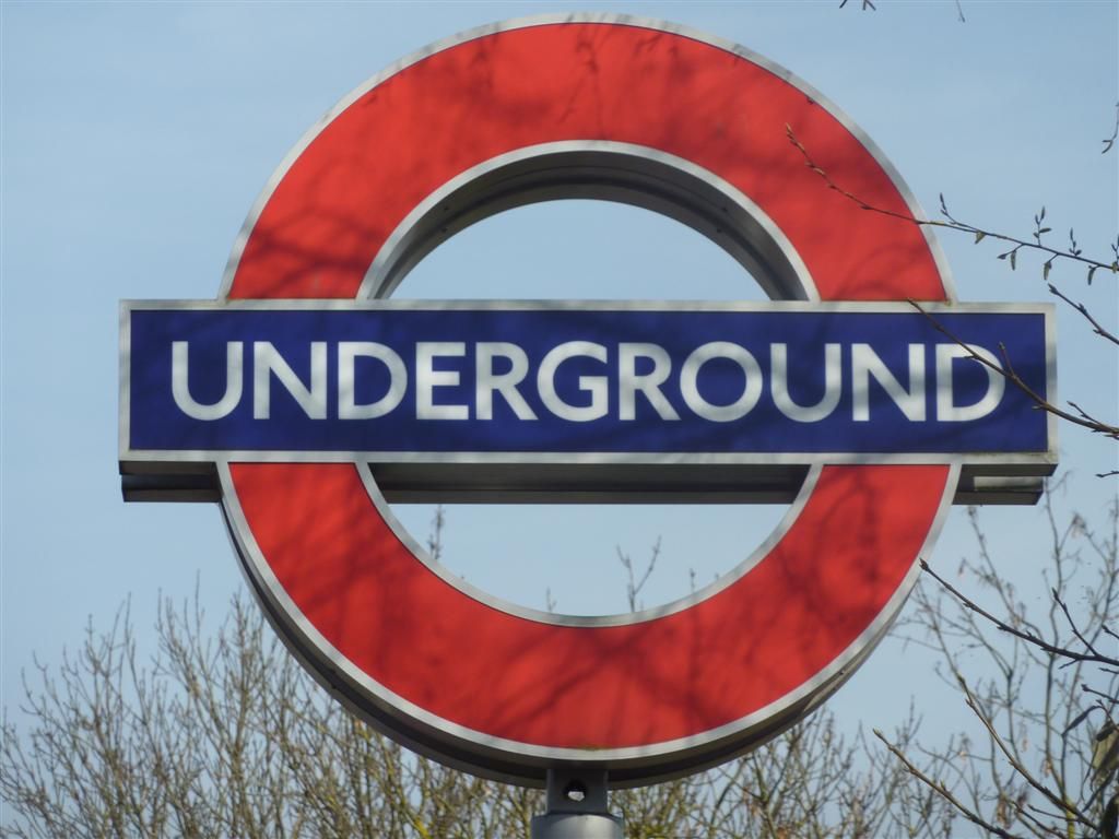
I'll get a DLR one when I do that, probably middle of next week.Its all still a work in progress but other things I've been thinking I'll try and do:
I've also kept GPS tracks of all the rides since I started this, so the rides from my house and back and from line to line. I'd like to be able to overlay the connecting rides on the map, or have a seperate color for them. This will also help show the exact total mileage.
I want a proper curvy river Thames not the blocky one like the tube map. And I want it to be blue, yeah I know for realism it should be brown but I'm taking artistic licence on this one.
I'd like each station written in. I don't think I can bring myself to use comic sans, but I'd like the text to be a bit random and messy. So maybe some stations names have bigger fonts than others, with the odd letter at wonky angles. I'd quite like some text bunched up and others in the burbs more spread out. I'd also really like some names written around some geographical features like roads or other features. This map is going to look much messier than the real one so I'd like the text to be similarly shambolic.
-Rather than have a key with all the lines listed, I'd like to write the name of the lines at various points along the coloured trace.
As there is no line key I'd like to have a section on the side somewhere with some overview stats like total mileage, time taken, list of punctures/mechanicals etc. I did think of including all the food and drink I'd had on route but that may be overdoing it.
I'd like this threads web address to be on it somewhere.
I won't be using any bike at station photos on the map, they are basically just shit boring bike at station shots. I'll maybe just use them for birthday and chrimbo cards to continue to bore the shit out of my friends and family about cycling.
I think the DLR and Overground on the same line as the Underground lines may seem a bit too busy ,so I may do them seperately, but will overlay them all on one to see what it looks like.
-For the stations with interchanges for other lines, instead of the just a black rimmed white circle of the original map I'd like bicycle wheels. No spoks as I don't own one, just plain old normal 32 spokes or something, but I guess as they're not loading bearing I can get away with a low spoke count.....
Any other ideas?
- I'm pretty excited to have only 2 lines to go, it seemed pretty daunting to at the start but now the end is in sight, of the riding at least.
Weather permitting I'll probably do the DLR midweek, and the Piccadilly line next weekend, choo choo.
-
• #85
All I could find about the accident at Forest Hill last week was this:
http://www.se23.com/forum/showthread.php?tid=9669&pid=61329
Pretty nasty. I had been thinking about this guy on and off since last week and hoped he'd pull through. I did think about sending him a card in hospital, but without any name or hospital details I was a bit stumped. I've been unable to find any further updates apart from something on google about twitter chat saying that he was off the critical list and on the mend. I'm not on twitter and know its not a reliable news source, but in the absence of any other info I can only hope this is true. I wish the chap a speedy and full recovery. I did email the person who wrote the above article yesterday to ask if there are any further updates, so we'll see.
In brighter news the other week I sent an email to Tunnocks to tell them about these rides, and how Tunnocks are indirectly helping with my navigation around the metropolis. I thought it may give them a giggle and they could maybe pass to any cyclists in the company to read at teacake break. Well they emailed me back asking for my address and yesterday morning I received this, a Glencairn Crystal Tunnocks engraved tumbler.

How brilliant is that! I'm well chuffed, thanks Tunnocks. My lifetime commitment to this family company is now assured. My main concern about Scottish independence is that the supply of teacakes south of border is maintained, and I shall personally hunt down Alex Salmond and slapped arse botox face David Cameron if my Tunnocks fix is in any way affected.My midweek plans to do the DLR were put on hold as I had'nt done any riding outside London this year, (with the exception of the ride to Amersham) so had a bad case of urbanitis and needed to do some countryside miles. That itch was scratched with 90 odd miles on Thursday out to Saffron Waldon and back, and despite the brutal 20-30 mph headwind all the way back, it was a lovely change. My mate was in charge of navigation so I had a day off from extensive route notes which was great.
So fully recharged and ready for the final urban assault of the two remaining lines, I headed out today for the DLR.
http://www.tfl.gov.uk/assets/downloads/dlr-route-map.pdf
The DLR map probably best demonstrates all the back and forth I've had to do so far, multiple branches and although there are 83 stations on the DLR the only ones I'd not have to go past at least twice were the ones at the end of each branch and All Saints, Langdon Park, Devons Road, Bow Church and Pudding Mill Lane. Canning Town is the central hub of the line and I'd have to go through there 4 times.
By starting in Tower Gateway the route runs like a Scalextric track up to Beckton, back to Stratford International, down to Woolwich Arsenal, back up to Bank, down to Lewisham before the final leg back up to Stratford. Perhaps not the shortest route but it has a nice symmetry with the DLR map.
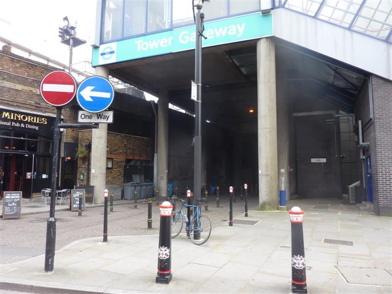
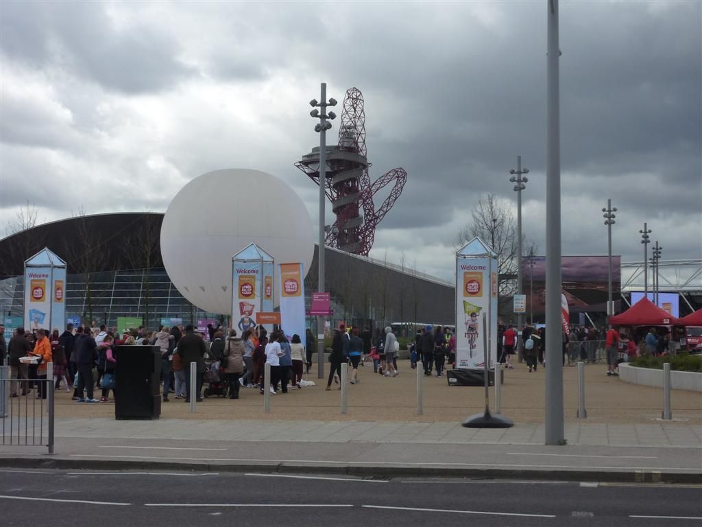
I bombed along for the first 20 odd miles, this being by far the most traffic free line I've done so far, I guess helped by the fact that part of town is quiet on Sundays. The exception was Stratford, I walked through Westfield on my way to Stratford International and was surprised how busy it was, it became apparent this was not due to the public engaging in retail therapy but because there was loads of Sports Relief activity going on around the Olympic Park
Then it was down to Woolwich Arsenal, I'd hoped to get the Woolwich ferry across the river as I was'nt able to when doing the Jubilee line as it was closed because of fog. I got there just before 11 only to discover the first ferry was'nt until 11.40, slackers. I could'nt be bothered to stand around so I went through the foot tunnel. As I only had to get Woolwich Arsenal before coming straight back, I ended up coming back through the foot tunnel again, so no ferry this time either.It was pretty windy again today so all the west bound riding was into a stiff breeze which made it harder than it could have been, but I'd had no rain so far. As I got to Tower Hill and all the way through to Bank it was clear it had been raining earlier but was obviously localised to the north of the river, yay.
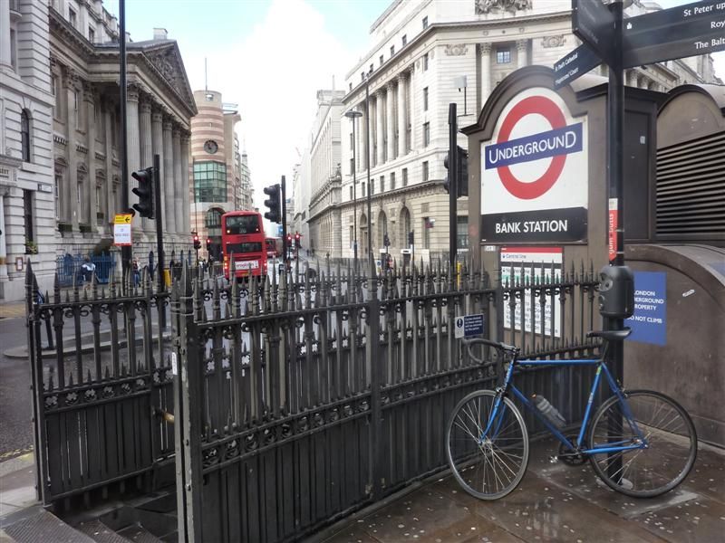
I had no rain gear so was pleased to have dodged a soaking, and on the way back out to Canary Wharf the sun broke through.
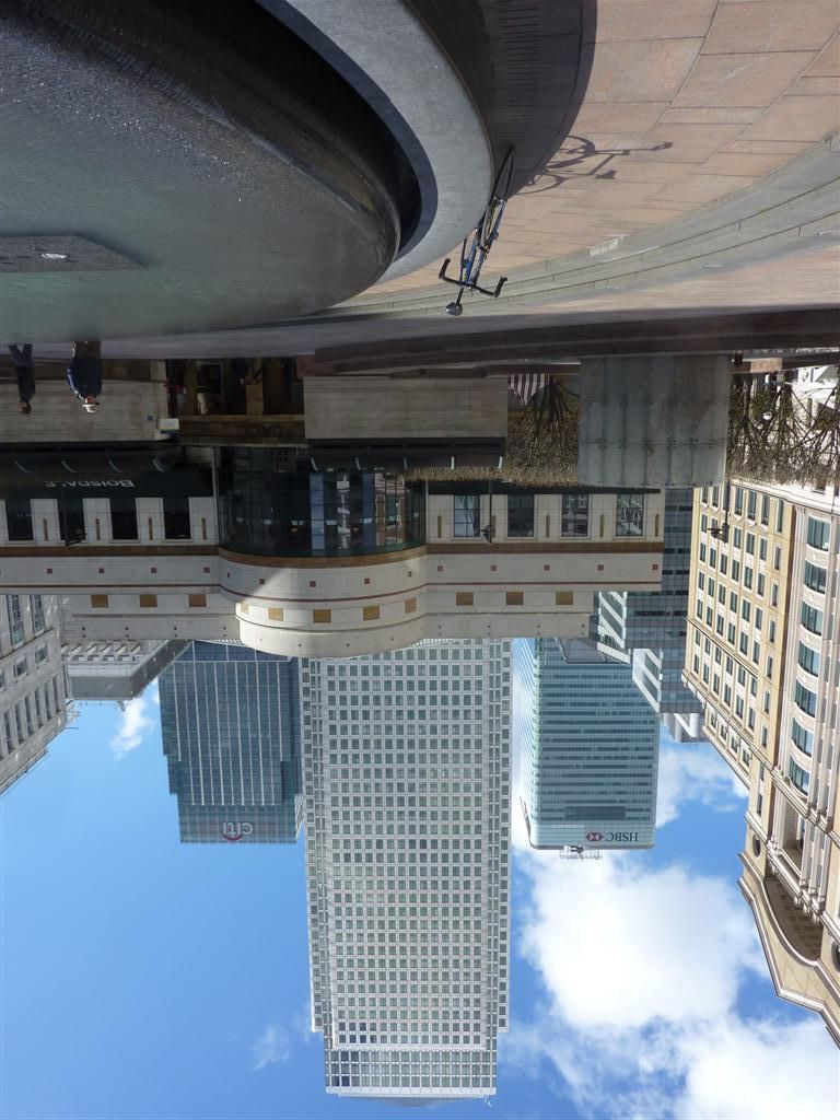
There was more tunnel action as I had to go through the Greenwich foot tunnel twice to get to Lewisham and then again on the way back. All went fine all the way back to the finish in Stratford. Days total mileage = 65.3 miles, taking the grand total so far to 805.8 miles.Underground
Victoria line http://ridewithgps.com/trips/2168039
Central line http://ridewithgps.com/trips/2168037
Bakerloo line http://ridewithgps.com/trips/2168035
Jubilee line http://ridewithgps.com/trips/2179359
Metropolitan line http://ridewithgps.com/trips/2179362
Waterloo & City line http://ridewithgps.com/trips/2181152
Circle line http://ridewithgps.com/trips/2181146
District Line http://ridewithgps.com/trips/2259166
Hammersmith & City http://ridewithgps.com/trips/2259143
Northern line http://ridewithgps.com/trips/2282509
Bakerloo line, 3rd time lucky http://ridewithgps.com/trips/2284876
Overground
Overground 1 from Stratford via Willesden Junction to Ricmond, back to Willesden and finishing in Clapham Junction. 28 Stations
http://ridewithgps.com/trips/2345908
Overground 2 Clapham to Junction to New Cross, West Croydon, back up to Surrey Quays, through Rotherhithe Tunnel to Highbury & Islington. 29 stations http://ridewithgps.com/trips/2341571
Overground 3 Gospel Oak to Barking, 12 stations. http://ridewithgps.com/trips/2338449
Overground 4 Euston to Watford Junction, 19 stations. http://ridewithgps.com/trips/2338455
DLR - http://ridewithgps.com/trips/2380539
So that just leaves the Piccadilly line to go, whoop whoop, which I will try and do at the end of this week. I was going to start than in Cockfosters but if this westerly wind keeps up I may start in Heathrow. However a quick Pat Butchers at the BBC weather website hints the wind may be blowing in the opposite direction towards the end of next week, so I'm likely to be as changable as the weather so the start point will be determined by which way the wind blows.
-
• #86
looks like great fun..very cool :)
-
• #87
http://londonist.com/2014/03/roundel-of-applause-for-a-man-whos-visited-every-tube-station.php
Look at this lightweight walkerenger getting his 12 seconds of fame - I reckon you should write to TFL or Londonist, there might be another engraved tumbler in it for you?
-
• #88
Truly epic work, all those traffic lights!
-
• #89
Haha cheers chief_scrutter. Pfft yeah only 16 hours, mostly having a bit of a sit, with a bit of jogging thrown in. Does'nt sound particularly hard work, they only have to worry about navigating between lines, and they left out the DLR and Overground. However they are at the mercy of the rickety old system breaking down, and it took 25 attempts, sod that. Whereas the good old bicycle is virtually unstoppable, with only 1 puncture being any hinderance so far, and the time it takes to plot the route and write out directions. But it has taken me 10 days over the course of a few months so far, so I'm not setting any speed records.
And Nic I did wonder about the number of traffic lights. Funnily enough for a bit of a random sample I was going to get 3 of those pedometer/ticker things to attach to the bars or top tube and keep a record of how many traffic lights I went through on one, and then record the number of reds and greens with the other two. But I figured, quite correctly in hindsight, that keeping up with the route notes was distracting enough and it would have been like riding along patting your head and rubbing you stomach. I'd have probably stacked it into the back of a bus within minutes.
I probably will send this thread link and a copy of the map to TFL when I 'm finished, it will give Boris something to read during his tea break if nothing else. I guess I might aswell send it to the Londonist too, and maybe a few bike mags or something. I have'nt really thought about that to be honest, and am still a bit surprised by the interest.
I've not written out notes for the Piccadilly line yet, but if you're up for that Nic, towards the end of the week, or early next let me know. I don't fancy doing it rain so will keep an eye on the weather forecast.
-
• #90
Love the riding blue feet, looks like a satisfactory endevour.
Its all still a work in progress but other things I've been thinking I'll try and do:
I've also kept GPS tracks of all the rides since I started this, so the rides from my house and back and from line to line. I'd like to be able to overlay the connecting rides on the map, or have a seperarte color for them. This will also help show the exact total mileage.
I want a proper curvy river Thames not the blocky one like the tube map. And I want it to be blue, yeah I know for realism it should be brown but I'm taking artistic licence on this one.
I'd like each station written in. I don't think I can bring myself to use comic sans, but I'd like the text to be a bit random and messy. So maybe some stations names have bigger fonts than others, with the odd letter at wonky angles. I'd quite like some text bunched up and others in the burbs more spread out. I'd also really like some names written around some geographical features like roads or other features. This map is going to look much messier than the real one so I'd like the text to be similarly shambolic.
-Rather than have a key with all the lines listed, I'd like to write the name of the lines at various points along the coloured trace.
As there is no line key I'd like to have a section on the side somewhere with some overview stats like total mileage, time taken, list of punctures/mechanicals etc. I did think of including all the food and drink I'd had on route but that may be overdoing it.
I'd like this threads web address to be on it somewhere.
I think the DLR and Overground on the same line as the Underground lines may seem a bit too busy ,so I may do them seperately, but will overlay them all on one to see what it looks like.
-For the stations with interchanges for other lines, instead of the just a black rimmed white circle of the original map I'd like bicycle wheels. No spoks as I don't own one, just plain old normal 32 spokes or something, but I guess as they're not loading bearing I can get away with a low spoke count.....
Any other ideas?
Do you have any ideas of how you are going to make this map? I'll have a look at home because I think I've got a vector file of the River Thames in full, I'll check this evening. If I do it would be in DWG format, although this is convertible to other formats....anyway I'll let you know.
.......Or you could do a hand drawing on trace/velum over scaled and printed route .gpx files and scan it in for reproduction......and in fact this would be more in keeping with the process you can used of hand written route notes and such.
-
• #91
Hi CheBeef, no not really thought about how its going to become a reality yet haha. I'm classing the riding as the easy bit as I'm comfortable with that, and the techy stuff is into the unknown for me...I don't even know what DWG format is. The river Thames vector file sounds very intersting though so I'd appreciate having a look at that.
I have a few friends who said they'd help but nothing is finalised at this stage, I was just hoping to overlay the gpx's onto a map in some way, any help more than welcome and full credit will be given. I'm up for experimenting with different sizes and formats so we'll see.
When I was coming back from Brentwood last week I found an A-Z in the road, and as I have one already, I thought after I'd done the Piccadilly line I'll take them apart and patch them altogether into a big map, and I thought I'd colour in the gpx routes on there. It will be childhood 2.0, I can't remember the last time I did any colouring in! Also this old school 'analogue' sellotape and crayon version will give me an idea of the size of map at a resolution detailed enough to have each street name visible. I know its going to be big, and that won't include the outer limits to Amersham etc but it will give some idea of size at least.
-
• #92
I don't have the file I thought……….fear not, I do have access to online OS Maps which I can convert to a Vector with not too much fuss.
A DWG is an AutoCAD file (a vector program).
With Vector files, the lines are scalable so you can keep a line weight and quality you wish.
I love the idea of the crayon version and a sense of scale you get for a first draft. Awesome.
Good luck with the rest of the route, in fact I'd love to join on anything else you do. However, availability may prohibit this.
I'll PM you when I have a map of the River Thames for you to see.
-
• #93
The only program I know of where you can overlay multiple GPXs is Garmin Basecamp.
Doesn't look particularly neat mind.
-
• #94
I found this bike route plotter:
That allows import as a gpx/tcx, but, allows output as a csv. A collection of csv's would be very easy to plot together... Not that I've actually tried using the site but in theory...
-
• #95
I would like your views on the best cities for cyclist to reach 30 and 50 mile treks...My favourite believe it or not is Nashville Tennessee and Edinburgh Scotland....one condition for your guidance: english road signage please..
-
• #96
ok, I've found a way to overlay each track in MATLAB, just need to include a scaled background:
Note this is a low res version of just the central and northern...
-
• #97
It's a tree, with a small dog-like creature climbing up the branch on the right
-
• #98
@ 5awyer, yep garmin Basecamp one was of the first tips I was given, by Freezing77, but the maps are pretty clunky, and as you say, not very pretty.
@Chamonix Mt Blanc, I've got very little experience riding in any cities other than London, so its got to be London for me. Maybe try asking in the any question answer thread.
@And cheers Nic, yeah I've not looked at Biketoaster, I will check it out. And I've never even heard of MATLAB, but even that simple trace looks pretty good, cheers, good work.
@big thanks to Chebeef who sent me some cool things to play with. Once I've done the route for the next line I'll PM you, be great to have you along, and I'm happy to try and work around your availability. The end of this week is looking unlikely now, so maybe next week?Despite all this digital talk, today I'm still very much stuck in the analogue version, its been like Blue Peter, and I'm loving it. This morning I went out and bought some felt tip pens and sellotape
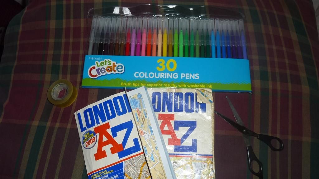
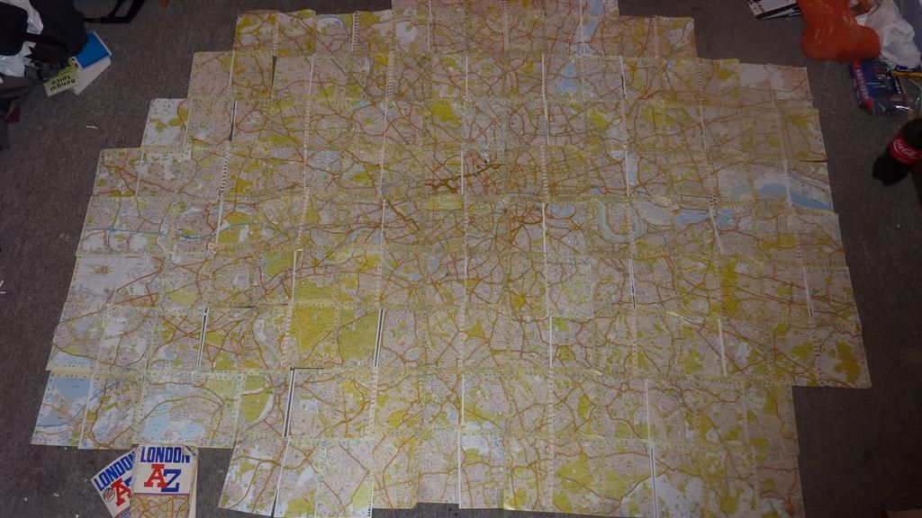
And ripped apart my A-Z's to give me an idea of scale. I had to move bikes and furniture around and have'nt properly aligned the pages, but as a guide it looks like this: over 7 feet wide by about 6 feet high.
If I'm spending a day or two reliving my childhood with scissors, sellotape and colouring in, then there's a crucial ingredient missing. Yes you guessed it, sweets. So after brunch I popped out to the nearest pick'n'mix I could find, and voila

Hell yeah! Its been a while since I purchased any of that stuff. It was on the news yesterday about how low inflation was, well I can confirm I noticed a MASSIVE jump in inflation since I last bought a pick'n'mix. That little lot cost £4. Totally worth it, that should keep me as hyper as 5 year old for the colouring in stage. I've got to stop there for the day but tomorrow I'm getting those pages properly aligned and taped, then I'm colouring in the lines I've done already. I am excited.And all this childhood excitement is great for the creative juices, which are flooding out of me today. I've don't think I've ever written a song in my life, but I did today. Its called Pothole Wizard and I've written it to them theme of the Who's Pinball Wizard, so have that music in mind as you read the following:
Ever since he was a young boy
He played with bicycles
From Soho down to Brighton
He must have seen them all
I'm sure I've just seem him
Whizzing down the Mall
That single speeded blue fleet
Sure can dodge potholes riff riff riff riffAstride his trusty Mercian
He's part of the machine
Weaving through the bumpers
So fast he's barely seen
He rides on intuition
He rarely has a fall
That single speeded blue fleet
Sure can dodge potholes riff riff riff riffA navigational wizard
On Tunnocks he depends
He does'nt wear a helmet
Which doesnt win him friends
He's never owned any dayglo
Yet still has'nt met his endHe's used to the distractions
The sirens and the smells
That amber light was flashing
To the officer he yells
He always has a quick retort
To the car driving proles
That single speeded blue fleet
Sure can dodge potholes riff riff riff riffWeaving through the city atop an 853
Wishing he had 25's instead of 23's
So much city riding you think that he'd be glum
Only had one puncture and not ruptured his plumsRiding out to Amersham,
That day was a test
Miles into the country
He barely had a rest
He's given no one the finger
800 miles and not one fall
That single speeded blue fleet
Sure can dodge potholes riff riff riff riffI may have already had too many sweets, I think someone may need to phone my parents.......
-
• #99
So following chief_scrutter's link above I briefly emailed the Londonist to tell them about this.
They were keen to see the map when finished so I'll send them a copy when complete, and they gave me a little mention with a link to this thread.
http://londonist.com/2014/03/one-roundel-to-rule-them-all.php
-
• #100
If you want free map data see Openstreetmap
 blue_fleet
 user8746
 Backstop
 CheBeef
 5awyr
5awyr rhowe
rhowe
I have plotted the Piccadily line Cockfosters to Uxbridge, then from Heathrow to Acton Town. Come in at 106km, which isn't too bad. Could not work out a good way of dealing with Heathrow, so I figured the easiest thing is to start at 1,2,3, then hit 5 and 4. That covers off both branches, but out off order, which is better than backtracking around the airport, right?
http://ridewithgps.com/routes/4123935