-
• #2
10k you say... You should do it as a run.
I ran this pentagram the other day while bored
-
• #3
Does not spell CUNTS
-
• #4
Go bigger
-
• #5
^ This. Nice idea, but make it a pwoper wide.
-
• #6
Yeah make it huge.
-
• #7
You can use between junctions 16/15(M25) and the M4 as the 'L' ..
-
• #8
You should do it as a run.
peeface pls
-
• #9
what's Legss?
-
• #10

-
• #11
what's Legss?
Must spread rep
-
• #12
Yes. But bigger.
- I thought it was going to be a cock 'n' balls?
- I thought it was going to be a cock 'n' balls?
-
• #13
I'm in for drawing a cock and balls. Cos I'm mature like that.
-
• #14
But what part of London would it be over?
-
• #15
The north, because the north is bollocks.
-
• #16
10k you say... You should do it as a run.
I ran this pentagram the other day while bored
That is a pentangle outside a pentagram. Could have saved yourself quite a lot of unpleasant running if you had left the pentangle out.
-
• #17
I'm in for drawing a cock and balls. Cos I'm mature like that.

Skinnyand

Dammit
already have
-
• #18
-
• #19
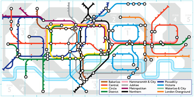
Ill dig it out at some point but when i was at csm we had a project called mapping in which I deconstructed the tube lines and rearranged them to make other objects.
csb.
-
• #20

-
• #21
but at street level the tube doesn't actually look like that !
-
• #22
loool
-
• #23
-
• #24
Ill dig it out at some point but when i was at csm we had a project called mapping in which I deconstructed the tube lines and rearranged them to make other objects.
csb.
is there a map that shows the real world route for the tube lines ?
overlaid on an A-Z or something like that ?and i'm also very curious as to where the eurostar line goes after it leaves stratford and heads underground ? where does it re emerge from the tunnel ?
-
• #25
is there a map that shows the real world route for the tube lines ?
like dis?
http://upload.wikimedia.org/wikipedia/commons/9/90/Tube_map_1908-2.jpg
 pooface
 dancing james
 benjam
 Oliver Schick
 spenceey
 |³|MA3K
 ObiWomKenobi
 HatBeard
 NurseHolliday
 villa-ru
 hats
hats cliveo
 Tenderloin
 dicki
dicki
 @Sparky
Does anyone fancy doing a route which draws "LFGSS" on London? I like the idea of writing something across the map and uploading it to Strava...
Here's a rough outline, but if other people were into the idea we could tighten this up a lot before we did it:
http://www.bikely.com/maps/bike-path/lfgss
I completely understand if nobody else is into this, it's a really nerdy idea.