-
• #552
Ah right - well Lea Bridge road, then.
I'd suggest they get used to the canal path, though. It's a much more pleasant route.
-
• #553
Other worry about the canal path is bike-jackings. Prolly not super safe for women alone there after dark really either, it's not like you have a lot of options if someone stops you along there.
-
• #554
Have they considered cycle training? :)
The standard route from Waltham Forest is along Coppermill Lane (a slight detour for your colleague, but not too much to not be feasible), then crossing the River Lea at or south of Springfield Marina, along the River Lea (the only waterside bit, and not a canal :) ), then across/under Lea Bridge Road to South Millfields, along the path SW to Powerscroft Road, then along that, across Lower Clapton Road into Clapton Square.
From there, they have a choice of either continuing along Clarence Place, left into Clarence Road, across Lower Clapton Road into Mare Street Narroway, and a short stretch along Mare Street (not quiet but the only bit that isn't), or south into Churchwell Path and either crossing Morning Lane into Chatham Place and a choice of east-west streets to get into London Fields, or the stretch along Morning Lane (again not quiet).
Anyway, from Mare Street as per the first option it's a right into Reading Lane, then left into Hackney Grove, then Martello Street, London Fields. From Chatham Place it's either Paragon Road (not quiet at the western end, but still possible to turn into Reading Lane from there) or Brenthouse Road-Ellingfort Road or Lyme Grove-St Thomas's Square-London Lane or Loddiges Road, etc.
In London Fields, they should get onto the Maurice Hope route along Middleton Road and west all the way to the Northchurch Road/Southgate Road junction. You say you know the bit from Dalston, but just to summarise the admittedly convoluted LCN route from there: across Southgate Road into Northchurch Road west, right into Cleveland Road, right into Elmore Street, left into Ecclesbourne Road, across New North Road into Popham Road, through the modal filter into Basire Street, then right into Bishop Street, then across the green by the church, right into Prebend Street, Rheidol Terrace, Danbury Street, Vincent Terrace (OK, parallel to the canal, but not on it, honest), and Colebrooke Row. From there on in it's fairly straightforward.
-
• #555
Awesome, I'll map that and maybe even do a recce ride with her if she's lucky, haha!
Thanks Oliver.
-
• #556
FWIW Copper Mill Lane can be a bit of a hot spot for muggings, although I haven't seen anything first hand: http://www.guardian-series.co.uk/news/11884608.Police_appeal_follows_vicious_bike_gang_attack/?ref=mr
Lea Bridge Road has a segregated bike path between Orient Way and Millfields Park and there is currently work going on to expand provisions for cyclists along there: http://www.enjoywalthamforest.co.uk/work-in-your-area/lea-bridge-road/
-
• #557
Looking for gravel /offroadish routes around London area please. Done Lea river till Hertford three times and couple times Epping, would like something longer maybe. Okay if I need to take train out.
-
• #558
Anyone done Dunkirk to Amsterdam and haz good route for it? I know the region is well laned, but I was hoping for something a little out of the usual.
-
• #559
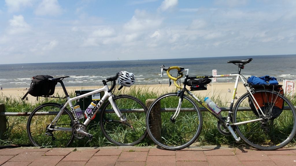
I did a month or so ago. Amazing route. Here's my write up from TAYWR at the time!
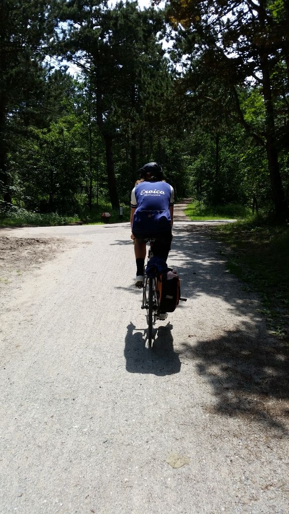
Off the back of a great Eroica Britannia, I've just returned from a magical
730km London - Dover - Calais - Amsterdam - Hook of Holland - Harwich -
London 'Tour of Bruv' with my brother who is over from NZ.It's been a pretty tough few years for our family with the loss of both
parents so was magical to reconnect under more positive circumstances with
great company, great scenery, food and beer/rum.Did it over 5 days unsupported staying at budget hotels & camp grounds.
Got the routes off Ride with GPS from a company that specialises in cycle
holidays and adapted them to suit.Day 1 - 127 km London - Dover. It's a fairly hilly route this one but it
most importantly misses the A2 and goes down some magical lanes. Caught
the 5.30pm ferry over to Calais and stayed in a £60.00 per night Ibis.
https://www.strava.com/activities/617291817Day 2 - 175 km Calais to Westkapelle. Early start with thunderstorms and
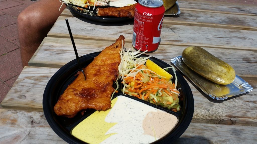
much rain. Breakfast in France, Lunch in Belgium & Dinner in the
Netherlands.. Rain turned into glorious sunshine. Stayed at a lovely
beach hotel.
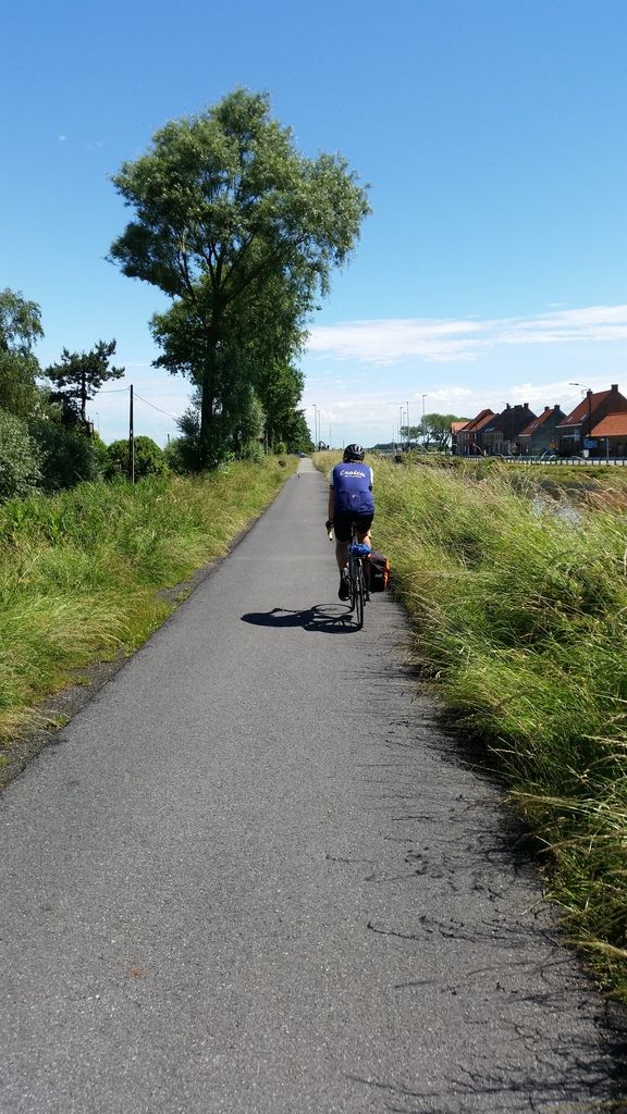
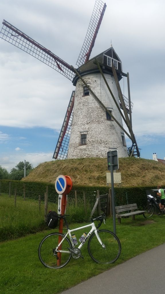
90% on lovely bike paths following dikes etc. Headwind the entire way.
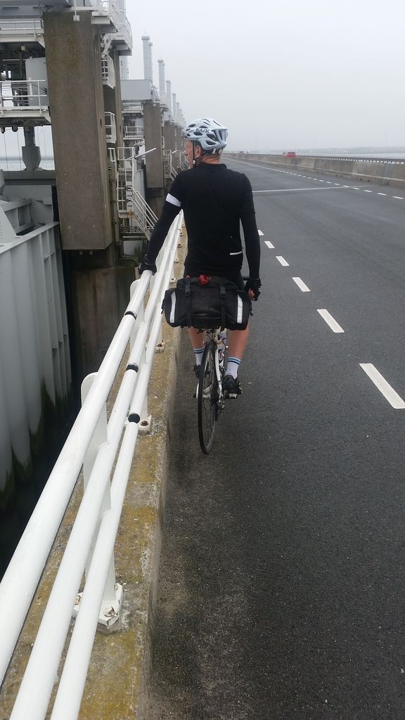
https://www.strava.com/activities/618411611Day 3 - 180km Westkapelle to Amsterdam. Amazing going over some of the sea
defences. Truly wonderful engineering. Quite a bit of our planned route
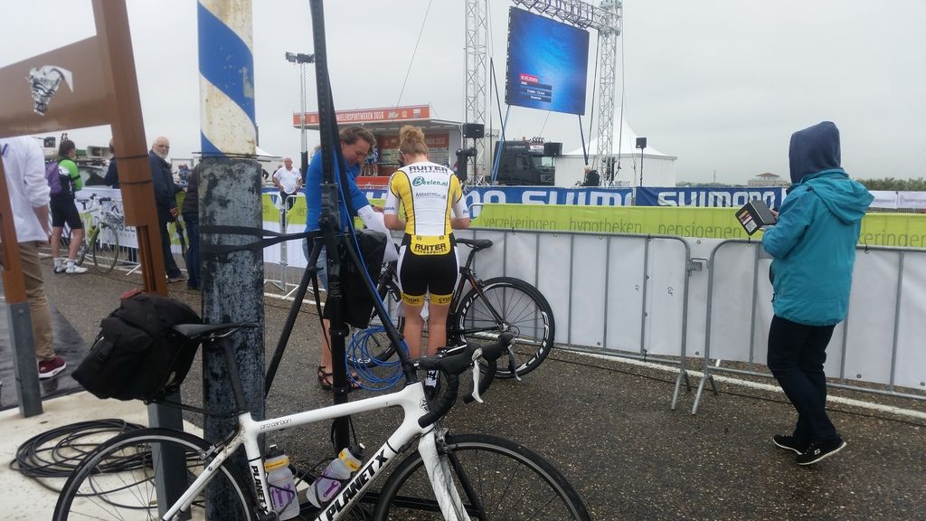
was on the same route as the Dutch national road racing course which
happened to be on at the same time! Shame we couldn't stay round to watch
as we had such a huge distance to chop. Stayed at the wonderful Camping
Het Amsterdamse Bos which seemed to contain every European teen that liked
high energy trance. Met my girlfriend and daughter who had flown in from
London to spend Saturday and Sunday with us.Day 4 - 109km. Amsterdam to Hook of Holland. Late start. A lovely
meandering route through Sand dunes along the North Sea Route. Caught the
overnight ferry back to Harwich. The ferry is first rate and would
thoroughly recommend to anyone!
https://www.strava.com/activities/621572168Day 5 - 137km back to London. A fairly direct route back to London but
could have been worse. Would have rather taken some nicer lanes and taken
a longer route.
https://www.strava.com/activities/622470225
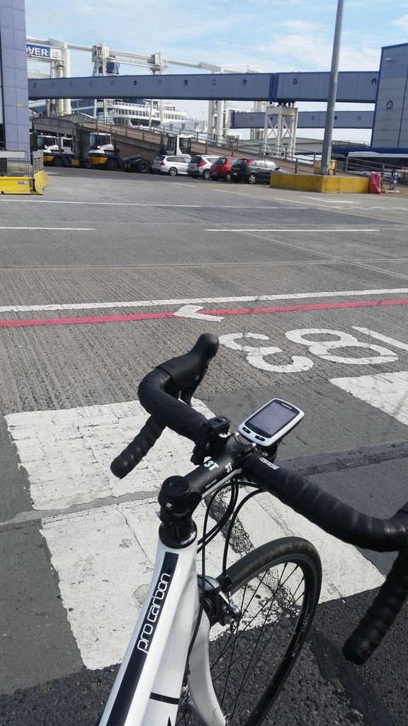
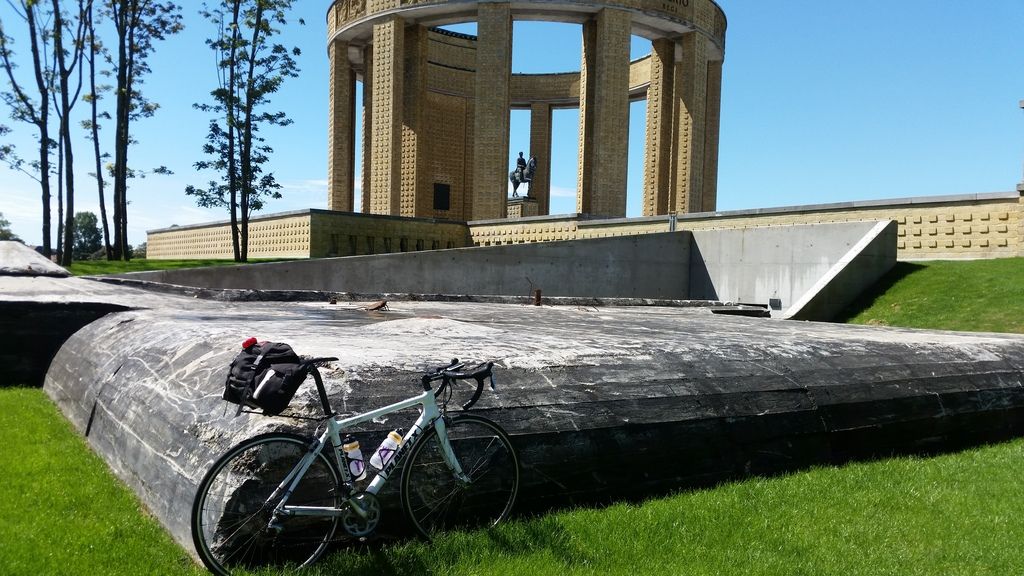
What a fantastic trip. 90% of the continental cycling was in dedicated
cycle lanes that were great for covering good distances relatively quickly
not like the cycle lanes here which I avoid like the plague.
10/10 - Go on plenty of adventures before you're too old. So so good.The Ride with GPS files are here:
Day 1: https://ridewithgps.com/routes/13940897
Day 2: https://ridewithgps.com/routes/14558197
Day 3: https://ridewithgps.com/routes/14569122
Day 4: https://ridewithgps.com/routes/14567451
Day 5: https://ridewithgps.com/routes/13945583
-
• #560
Does anyone import these Gpx files to iPhone? Can you suggest a good app?
Or are garmins worth the money?
-
• #561
MotionX is decent. You email the gpx files to yourself and use the app to open the attachment. Used it a lot abroad as you can download a set area to use offline.
-
• #562
Thanks I'll check it out
-
• #563
I use Galileo for viewing OSM and OpenCycleMap, plus if you click on a gpx download link it will import it and show it coloured with elevation.
Never tried it stem mounted and following it live or anything, but assume it would work okay.
-
• #564
Looks like an awesome ride, I've been thinking of doing something similar, maybe going to/from Le Havre instead. You went right through the village where I grew up too!
-
• #565
Looking to ride from east London tomorrow, maybe Epping but I'm not sure of the way.
any routes 50-100k?
starting from Shoreditch area
-
• #567
Seems like I can't download the route without premium, weird as I done this just last month,
do you have the GPX file anywhere else? route looks perfect and starts just up the street from my flat!
-
• #568
Just sent it to you, let me know if it doesn't work.
-
• #569
Can I have it too? Slightly different from my usual:
https://ridewithgps.com/routes/15104064
-
• #571
You'll be fine. Roads are dry.
Ps. That route looks tough! -
• #572
Thanks for the super quick reply.
Yeah it's supposed to be.. gulp.. Plenty of spots to cut it short if it all gets a bit much thankfully!
-
• #573
Pretty much taking in all the grim hills.
I live in Amersham, so done most, but not in one ride! F that.
The bit by dunsfold is lovely, so it the other stuff too. It'll be a great day for it. -
• #574
When you say grim.. what sort of % are we talking here..
-
• #575
Couple are 25% at points.
It's okay.
 J0nathan
 Cazakstan
 Oliver Schick
 Ricochet
 Chak
Chak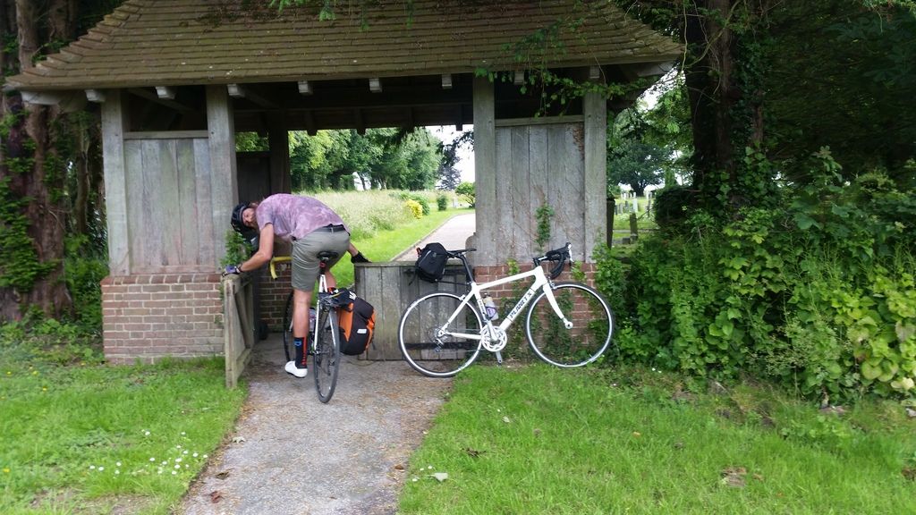

 M_A_X
M_A_X mrJL
mrJL mattioats
 MrBaklava
 giofox
 @cornelius_blackfoot
Thanks for replying, this is an important point I forgot to add. I'm trying to find them a quiet on-road route avoiding the canal.
It's too annoying negotiating all the runners and peds (who quite rightly have priority as it's a tow path not a race track).