Sorry not had the time to write these up yet, so here goes. Having done no cycling for 10 days when I was in Wales I was shying away from the centuary needed to do the Piccadilly line, so I wanted a slightly easier refresher for the legs. I was going to save the ride until the weekend but the weather was so nice on Thursday I made a last minute decision to start the Overground lines.
Thursday 13th March
I cobbled together some instructions and headed out to the first line of the day, Euston to Watford Junction.
To be honest having already been out to Watford, and being sick to death of the sight of Harrow & Wealdstone from the Bakerloo line debacle, I just wanted to get this one out of the way.
On the plus side Spring has offically sprung, not hot but sunglasses weather, and the knobbly knees were unleashed in a show of dazzling relecto horror, sorry London. Its amazing the difference a bit of sun makes to a city. The winter grumps are over, there was more smiles, drivers seem more courteous and car and house stereos were pumping away to the sounds of summer.
This time I promised to take more photos, but as you'll see I'm not sure it was worth it. I was quite taken by the massive deserted 40 acre site formerly owned by Kodak, a testament to the demise of film in the digital age. So that seemed an appropriate opportunity........to take a photo proving that although the market decreed digital 'won', most of the photos taken with them are awful. What I could see but have failed to capture, is that although there are no signs of any developers, the plants don't need planning permission and wait for no-one, so they'd already started moving in.
The burbs, Cedar Road near Bushey, I hoped this cedar tree had given the road its name.
It is clearly a massive oversight that London does'nt have a Potholed Street/Road/Avenue/Gardens yet, or even a 'Is this even a road Road'. I think the Council's have decided to let the roads erode back to the Roman layer, buckling a rim on a part unearthed roman centurian is becoming a real possibility.
I had to muscle my way round the Watford one way system which was'nt pleasant, but otherwise got to Watford Junction without any wrong turns.
Brief flapjack stop before heading off to the start of the 2nd section of the day. A few miles of climbing from Chalk Hill to Stanmore Common stirred the lung butter and reminded me my hill legs were on another hill, in another time. I decided to go via Stanmore to take a pic of my bike there which I'd forgotten when doing the Jubilee line. I did'nt do photos in Wimbledon, Olympia, or Ealing Broadway on the District Line branches either, so will need to do those too, not that they're going to be part of the map, just for completeness/pointlessness.
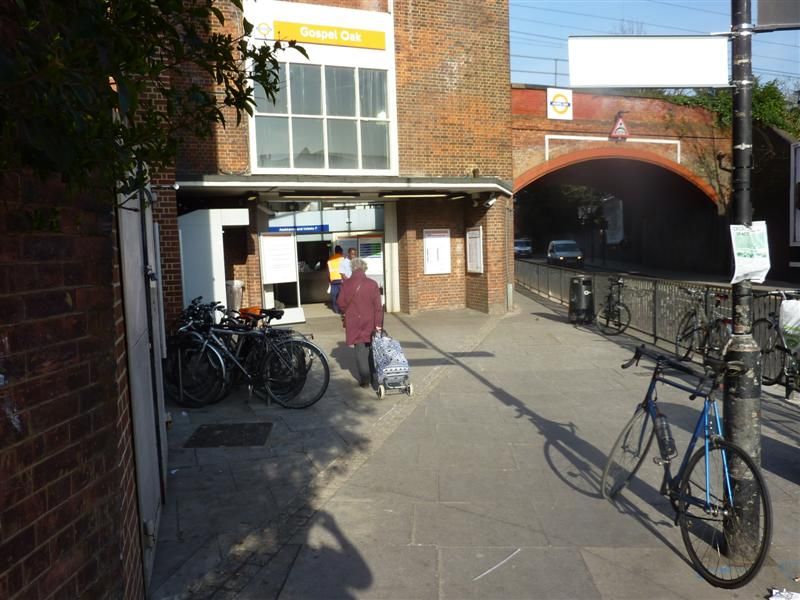
Gospel Oak for the start of the Gospel Oak to Barking branch
No problems on this bit, the sun kept on shining, even making wilderness east London look nice
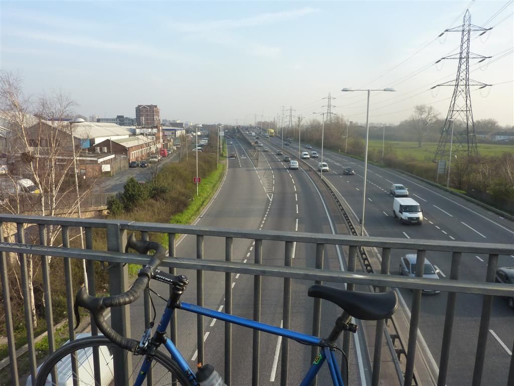
Oooh a road, have'nt seen any of them yet
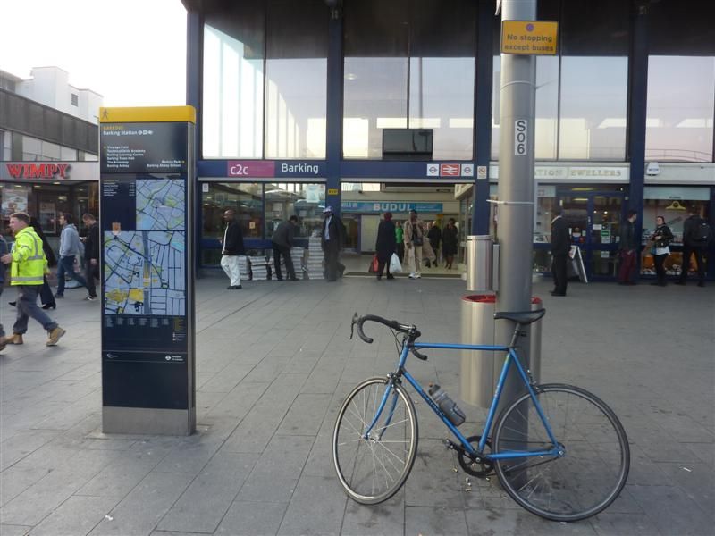
Barking, again.
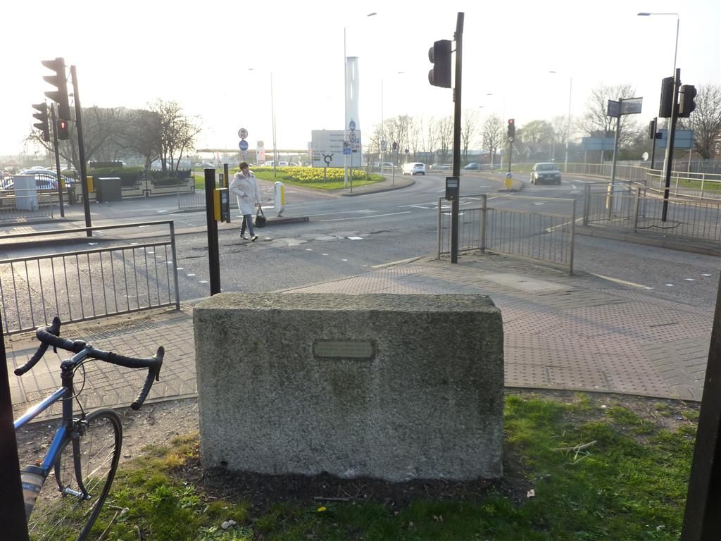
I stopped briefly for a flapjack here just seeing the boulder as a good stopping point.
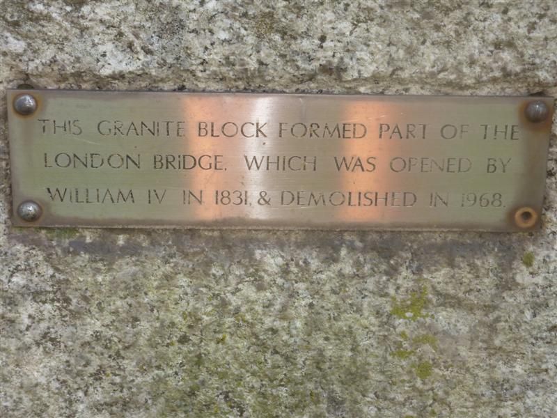
The little plaque on it close up
A good example of how London is full of things you can go past and not even notice.
All that remained was the ride back to town. I was a bit tired of the zigzagging through the A-Z so quite fancied the dull but mercifully straight CS3 which started down the road. It was only 1 junction so I thought I'd take the A406 but after going down the sliproad I was met with no cycling signs. It was about 5pm and very busy, a good sign really as the traffic was going at boris bike pace, so I decided to go for it. It was fine as I just filtered my way through going faster than the traffic, but there is no run off area or hard shoulder of any kind and the roundabout is a 5-6 lane shit fight, so just don't do it folks, not recommended.
I arrived home very hungry. Despite carrying plenty of food with me all day I'd only eaten 2 flapjacks since breakfast, which after 76.3 miles for the day meant I pretty much ate the rest of the food in the house when I got in.
Overground 3 Gospel Oak to Barking, 12 stations. http://ridewithgps.com/trips/2338449
*Friday 14th March. *
I had planned to finish off the overground but had'nt recce'd or made any route notes, which is so time consuming. This is where the satnav owners save time. I've mostly had pretty accurate notes so I don't think owning a Garmin makes the rides any faster, but I've spent bloody hours writing notes and looking on google maps. So by the time I'd written up notes for 1 branch, been to get some food and got ready it was gone midday. So I settled for 1 branch. Clapham Junction to New Cross, then down over the mountains down to West Croydon, then back up through Rotherhithe Tunnel to finish at Highbury and Islington.
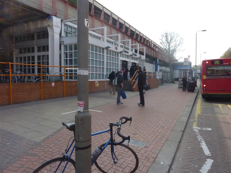
Clapham Junction
Jermingham road was the days introduction to climbing and it ramps up quite fiercely, needing out of the saddle honking. My efforts were however totally overshadowed by a young bloke roller blading down from the top, backwards! The group of transfixed builders near the summit looked disappointed he made it the bottom without stacking it. There would be nothing left if he had, just a 50 foot slug trail of clothing, flesh then bone.
More steep ramps up and over Forest Hill and Honour Oak, which I had to do out and back, but I knew that was the worst of it. I arrived at Forest Hill in the aftermath of a bad accident, the police were already there. The bus stop on the other side of the road just up from the station was destroyed, seemingly by the blue Renault Clio in the road with a mangled front end that had high speed impact written all over it. A guy lay on the pavement by the bus stop, being treated by 2 paramedics and it did'nt look good. A crowd had gathered and some were taking photos of the poor guy as he lay there motionless. That behaviour sets the bar so low I had one of those despair at your fellow man moments. On my return leg the road had been taped off, there was still loads of police around and they had a young guy in cuffs. I hope the injured guy and anyone else involved is OK.
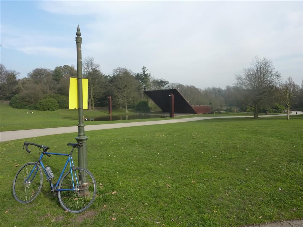
I was'nt really feeling the snap happy photo thing after that, but Crystal Palace provided a moment of serenity in a day of traffic, so I forced myself.
West Croydon, tram country, watch where you put your wheels. No hanging about so straight back towards the known world.
There were a few minor straying from the path moments but they were quickly corrected. I had the fear again that my GPS would crash going through the Rotherhithe tunnel, but I checked when I returned to the surface and all was good. I was concentrating so much on my front wheel on the cobbles of Wapping High Street that I went straight past the station without registering it, then did a pointless loop looking for it before discovering I'd been past it already, le shrug.
Route end, Highbury & Islington
Overground 2 Clapham to Junction to New Cross, West Croydon, back up to Surrey Quays, through Rotherhithe Tunnel to Highbury & Islington. 29 stations http://ridewithgps.com/trips/2341571
Miles for the day = 58.1
Saturday 15th March
Today was the final line of the Overground from Stratford via Willesden Junction to Richmond, then back up to Willesden before finishing in Clapham Junction. So quite an easy day, the climb up to Hampstead being the only lump, but not enough to cause any high altitude nosebleeds. The wind was up today over the previous days, I had a headwind all the way from Stratford to Richmond.
I got confused around Acton, I thought I was on Acton Lane, then instantly I was'nt, then was and quickly was'nt again. I lost all sense of direction and had to check the A-Z.
And this made me double take, it was'nt real.
Richmond
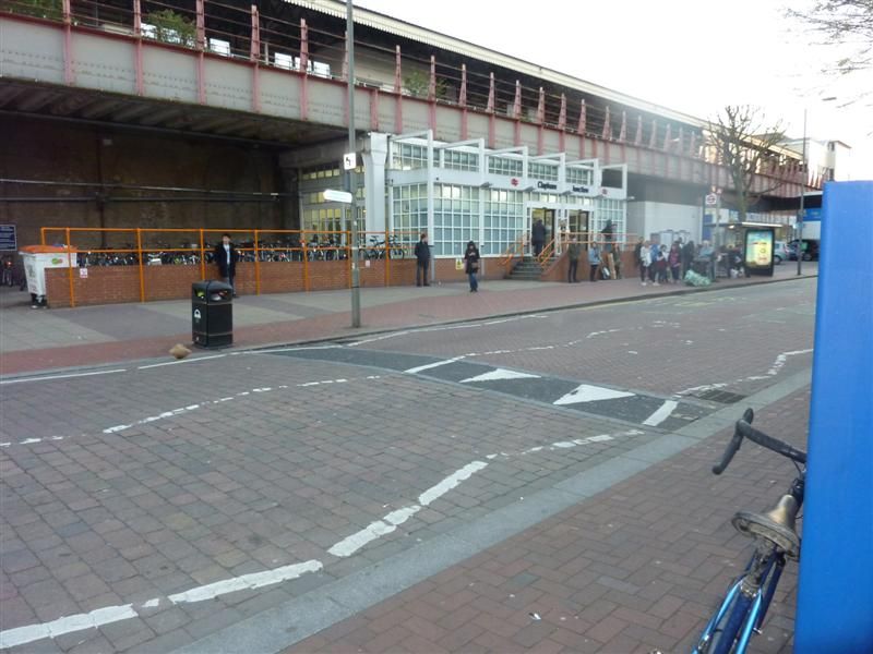
Clapham Junction
Overground 1 from Stratford via Willesden Junction to Ricmond, back to Willesden and finishing in Clapham Junction. 28 Stations http://ridewithgps.com/trips/2345908
Miles for the day = 56.4
A nice easy day that went according to plan. So the Overground is finished, all 80 odd stations done. I could'nt have asked for better weather, I barely saw a cloud for the 3 days. Total mileage for the network, including getting to and from home was 190.8 miles with 8581ft of ascent, quite a lot when you've only got 1 gear.
That takes the total distance travelled so far to 740.5 miles, and apart from the Metropolitan line section to Amersham, and Chatham, all within the M25, tragic. All done on one bike, my trusty single speed Mercian, and I am pretty amazed I've only had 1 p****ure so far, though now I've mentioned it I'll take extra tubes next time out just in case.
The mountain of cardboard from the directions is mounting. I was going to frame all the directions as a memento but I think I'm going to need a bigger frame. I also took these pics which I'm thinking or trying to incorporate, either as a frame or border or photoshop them in some way.
I'll get a DLR one when I do that, probably middle of next week.
Its all still a work in progress but other things I've been thinking I'll try and do:
I've also kept GPS tracks of all the rides since I started this, so the rides from my house and back and from line to line. I'd like to be able to overlay the connecting rides on the map, or have a seperate color for them. This will also help show the exact total mileage.
I want a proper curvy river Thames not the blocky one like the tube map. And I want it to be blue, yeah I know for realism it should be brown but I'm taking artistic licence on this one.
I'd like each station written in. I don't think I can bring myself to use comic sans, but I'd like the text to be a bit random and messy. So maybe some stations names have bigger fonts than others, with the odd letter at wonky angles. I'd quite like some text bunched up and others in the burbs more spread out. I'd also really like some names written around some geographical features like roads or other features. This map is going to look much messier than the real one so I'd like the text to be similarly shambolic.
-Rather than have a key with all the lines listed, I'd like to write the name of the lines at various points along the coloured trace.
As there is no line key I'd like to have a section on the side somewhere with some overview stats like total mileage, time taken, list of punctures/mechanicals etc. I did think of including all the food and drink I'd had on route but that may be overdoing it.
I'd like this threads web address to be on it somewhere.
I won't be using any bike at station photos on the map, they are basically just shit boring bike at station shots. I'll maybe just use them for birthday and chrimbo cards to continue to bore the shit out of my friends and family about cycling.
I think the DLR and Overground on the same line as the Underground lines may seem a bit too busy ,so I may do them seperately, but will overlay them all on one to see what it looks like.
-For the stations with interchanges for other lines, instead of the just a black rimmed white circle of the original map I'd like bicycle wheels. No spoks as I don't own one, just plain old normal 32 spokes or something, but I guess as they're not loading bearing I can get away with a low spoke count.....
Any other ideas?
I'm pretty excited to have only 2 lines to go, it seemed pretty daunting to at the start but now the end is in sight, of the riding at least.
Weather permitting I'll probably do the DLR midweek, and the Piccadilly line next weekend, choo choo.
Sorry not had the time to write these up yet, so here goes. Having done no cycling for 10 days when I was in Wales I was shying away from the centuary needed to do the Piccadilly line, so I wanted a slightly easier refresher for the legs. I was going to save the ride until the weekend but the weather was so nice on Thursday I made a last minute decision to start the Overground lines.
Thursday 13th March
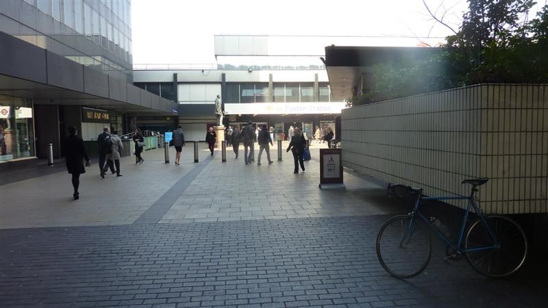
I cobbled together some instructions and headed out to the first line of the day, Euston to Watford Junction.
To be honest having already been out to Watford, and being sick to death of the sight of Harrow & Wealdstone from the Bakerloo line debacle, I just wanted to get this one out of the way.
On the plus side Spring has offically sprung, not hot but sunglasses weather, and the knobbly knees were unleashed in a show of dazzling relecto horror, sorry London. Its amazing the difference a bit of sun makes to a city. The winter grumps are over, there was more smiles, drivers seem more courteous and car and house stereos were pumping away to the sounds of summer.
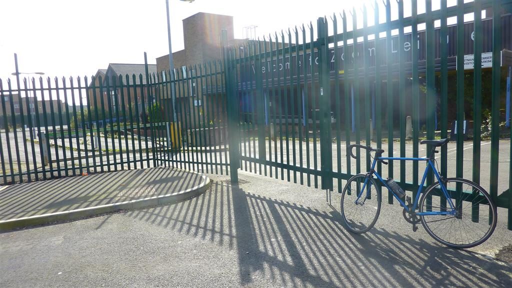
This time I promised to take more photos, but as you'll see I'm not sure it was worth it. I was quite taken by the massive deserted 40 acre site formerly owned by Kodak, a testament to the demise of film in the digital age. So that seemed an appropriate opportunity........to take a photo proving that although the market decreed digital 'won', most of the photos taken with them are awful. What I could see but have failed to capture, is that although there are no signs of any developers, the plants don't need planning permission and wait for no-one, so they'd already started moving in.
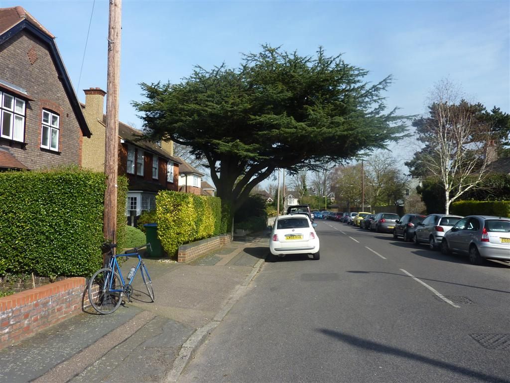
The burbs, Cedar Road near Bushey, I hoped this cedar tree had given the road its name.
It is clearly a massive oversight that London does'nt have a Potholed Street/Road/Avenue/Gardens yet, or even a 'Is this even a road Road'. I think the Council's have decided to let the roads erode back to the Roman layer, buckling a rim on a part unearthed roman centurian is becoming a real possibility.
I had to muscle my way round the Watford one way system which was'nt pleasant, but otherwise got to Watford Junction without any wrong turns.
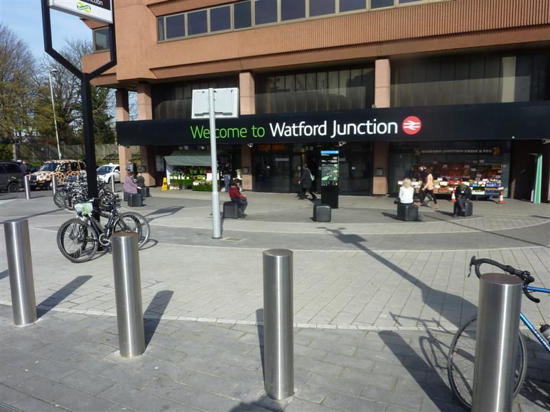
Brief flapjack stop before heading off to the start of the 2nd section of the day. A few miles of climbing from Chalk Hill to Stanmore Common stirred the lung butter and reminded me my hill legs were on another hill, in another time. I decided to go via Stanmore to take a pic of my bike there which I'd forgotten when doing the Jubilee line. I did'nt do photos in Wimbledon, Olympia, or Ealing Broadway on the District Line branches either, so will need to do those too, not that they're going to be part of the map, just for completeness/pointlessness.
Gospel Oak for the start of the Gospel Oak to Barking branch
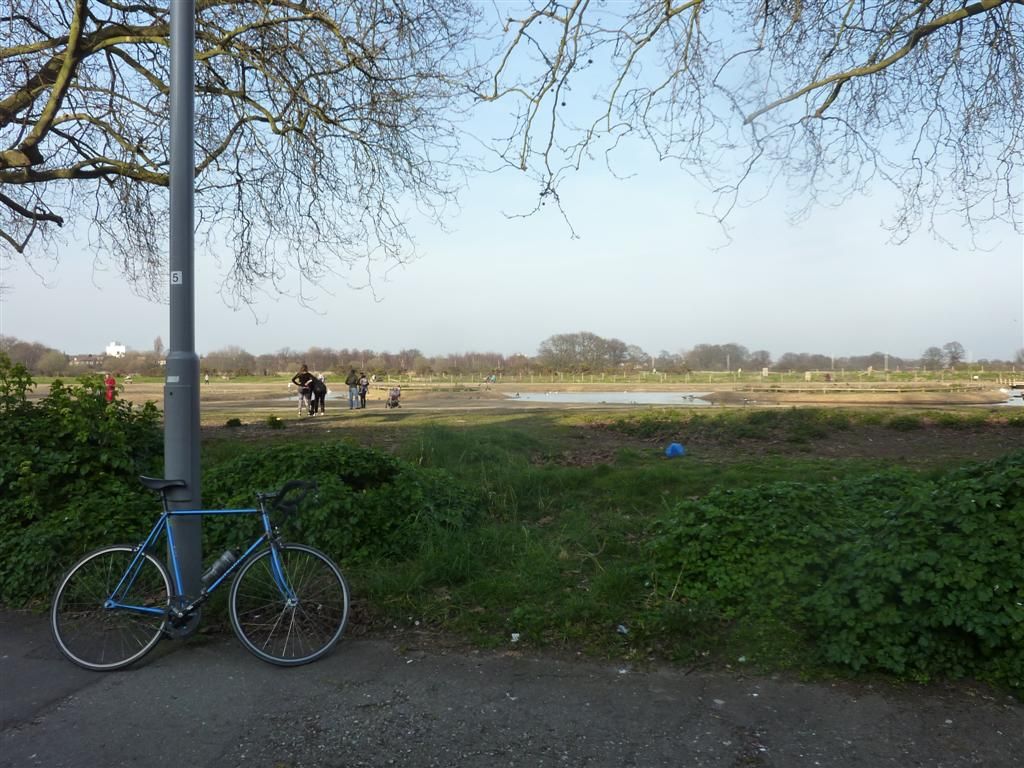
No problems on this bit, the sun kept on shining, even making wilderness east London look nice
Oooh a road, have'nt seen any of them yet
Barking, again.
I stopped briefly for a flapjack here just seeing the boulder as a good stopping point.
The little plaque on it close up
A good example of how London is full of things you can go past and not even notice.
All that remained was the ride back to town. I was a bit tired of the zigzagging through the A-Z so quite fancied the dull but mercifully straight CS3 which started down the road. It was only 1 junction so I thought I'd take the A406 but after going down the sliproad I was met with no cycling signs. It was about 5pm and very busy, a good sign really as the traffic was going at boris bike pace, so I decided to go for it. It was fine as I just filtered my way through going faster than the traffic, but there is no run off area or hard shoulder of any kind and the roundabout is a 5-6 lane shit fight, so just don't do it folks, not recommended.
I arrived home very hungry. Despite carrying plenty of food with me all day I'd only eaten 2 flapjacks since breakfast, which after 76.3 miles for the day meant I pretty much ate the rest of the food in the house when I got in.
Overground 3 Gospel Oak to Barking, 12 stations. http://ridewithgps.com/trips/2338449
Overground 4 Euston to Watford Junction, 19 stations. http://ridewithgps.com/trips/2338455
*Friday 14th March. *
I had planned to finish off the overground but had'nt recce'd or made any route notes, which is so time consuming. This is where the satnav owners save time. I've mostly had pretty accurate notes so I don't think owning a Garmin makes the rides any faster, but I've spent bloody hours writing notes and looking on google maps. So by the time I'd written up notes for 1 branch, been to get some food and got ready it was gone midday. So I settled for 1 branch. Clapham Junction to New Cross, then down over the mountains down to West Croydon, then back up through Rotherhithe Tunnel to finish at Highbury and Islington.
Clapham Junction
Jermingham road was the days introduction to climbing and it ramps up quite fiercely, needing out of the saddle honking. My efforts were however totally overshadowed by a young bloke roller blading down from the top, backwards! The group of transfixed builders near the summit looked disappointed he made it the bottom without stacking it. There would be nothing left if he had, just a 50 foot slug trail of clothing, flesh then bone.
More steep ramps up and over Forest Hill and Honour Oak, which I had to do out and back, but I knew that was the worst of it. I arrived at Forest Hill in the aftermath of a bad accident, the police were already there. The bus stop on the other side of the road just up from the station was destroyed, seemingly by the blue Renault Clio in the road with a mangled front end that had high speed impact written all over it. A guy lay on the pavement by the bus stop, being treated by 2 paramedics and it did'nt look good. A crowd had gathered and some were taking photos of the poor guy as he lay there motionless. That behaviour sets the bar so low I had one of those despair at your fellow man moments. On my return leg the road had been taped off, there was still loads of police around and they had a young guy in cuffs. I hope the injured guy and anyone else involved is OK.
I was'nt really feeling the snap happy photo thing after that, but Crystal Palace provided a moment of serenity in a day of traffic, so I forced myself.
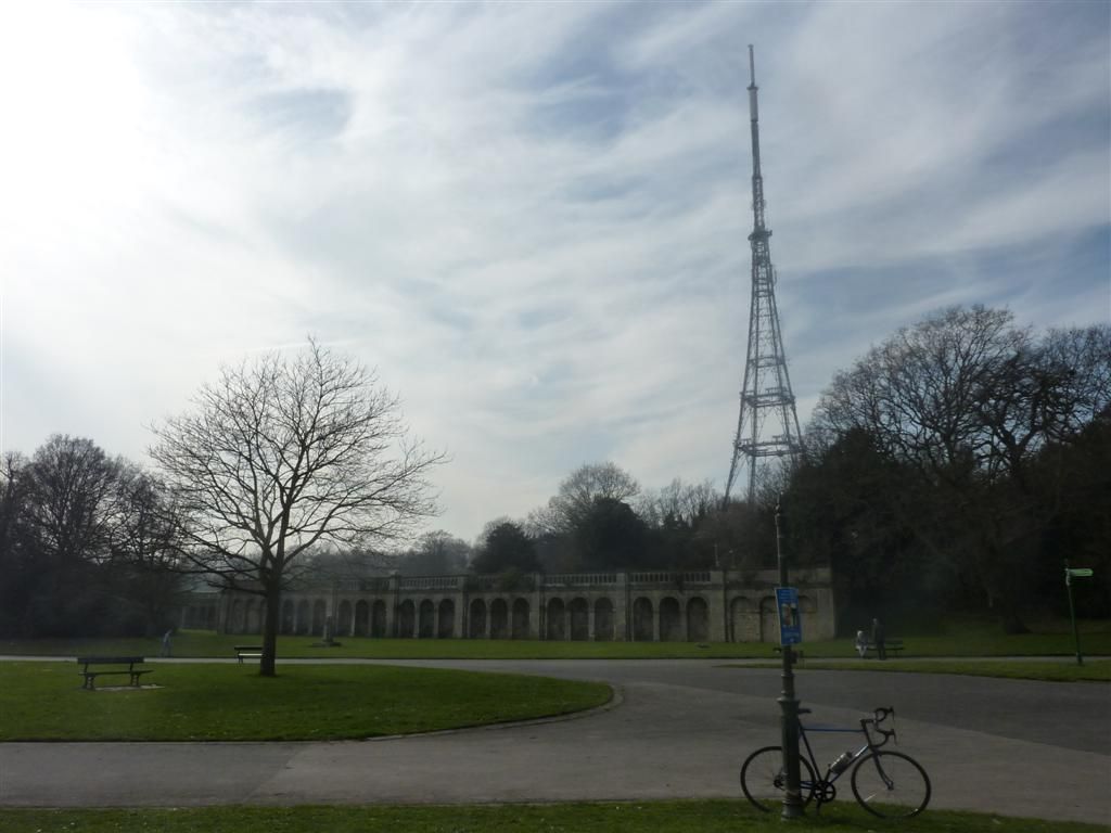
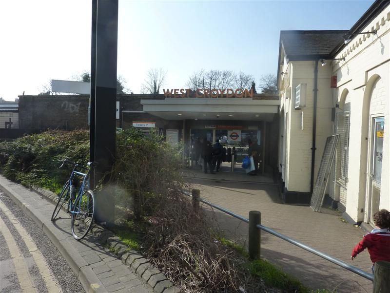
West Croydon, tram country, watch where you put your wheels. No hanging about so straight back towards the known world.
There were a few minor straying from the path moments but they were quickly corrected. I had the fear again that my GPS would crash going through the Rotherhithe tunnel, but I checked when I returned to the surface and all was good. I was concentrating so much on my front wheel on the cobbles of Wapping High Street that I went straight past the station without registering it, then did a pointless loop looking for it before discovering I'd been past it already, le shrug.
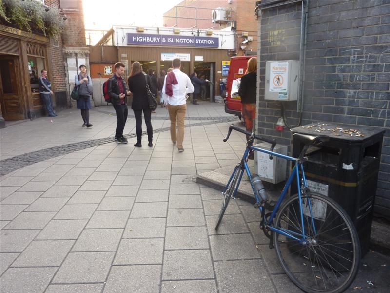
Route end, Highbury & Islington
Overground 2 Clapham to Junction to New Cross, West Croydon, back up to Surrey Quays, through Rotherhithe Tunnel to Highbury & Islington. 29 stations http://ridewithgps.com/trips/2341571
Miles for the day = 58.1
Saturday 15th March
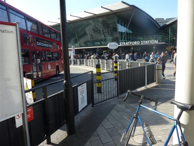
Today was the final line of the Overground from Stratford via Willesden Junction to Richmond, then back up to Willesden before finishing in Clapham Junction. So quite an easy day, the climb up to Hampstead being the only lump, but not enough to cause any high altitude nosebleeds. The wind was up today over the previous days, I had a headwind all the way from Stratford to Richmond.
I got confused around Acton, I thought I was on Acton Lane, then instantly I was'nt, then was and quickly was'nt again. I lost all sense of direction and had to check the A-Z.
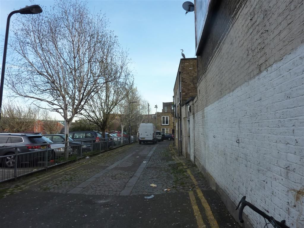
And this made me double take, it was'nt real.
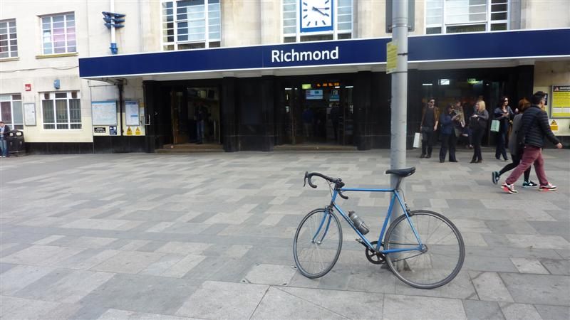
Richmond
Clapham Junction
Overground 1 from Stratford via Willesden Junction to Ricmond, back to Willesden and finishing in Clapham Junction. 28 Stations
http://ridewithgps.com/trips/2345908
Miles for the day = 56.4
A nice easy day that went according to plan. So the Overground is finished, all 80 odd stations done. I could'nt have asked for better weather, I barely saw a cloud for the 3 days. Total mileage for the network, including getting to and from home was 190.8 miles with 8581ft of ascent, quite a lot when you've only got 1 gear.
That takes the total distance travelled so far to 740.5 miles, and apart from the Metropolitan line section to Amersham, and Chatham, all within the M25, tragic. All done on one bike, my trusty single speed Mercian, and I am pretty amazed I've only had 1 p****ure so far, though now I've mentioned it I'll take extra tubes next time out just in case.
The mountain of cardboard from the directions is mounting. I was going to frame all the directions as a memento but I think I'm going to need a bigger frame. I also took these pics which I'm thinking or trying to incorporate, either as a frame or border or photoshop them in some way.
I'll get a DLR one when I do that, probably middle of next week.
Its all still a work in progress but other things I've been thinking I'll try and do:
I've also kept GPS tracks of all the rides since I started this, so the rides from my house and back and from line to line. I'd like to be able to overlay the connecting rides on the map, or have a seperate color for them. This will also help show the exact total mileage.
I want a proper curvy river Thames not the blocky one like the tube map. And I want it to be blue, yeah I know for realism it should be brown but I'm taking artistic licence on this one.
I'd like each station written in. I don't think I can bring myself to use comic sans, but I'd like the text to be a bit random and messy. So maybe some stations names have bigger fonts than others, with the odd letter at wonky angles. I'd quite like some text bunched up and others in the burbs more spread out. I'd also really like some names written around some geographical features like roads or other features. This map is going to look much messier than the real one so I'd like the text to be similarly shambolic.
-Rather than have a key with all the lines listed, I'd like to write the name of the lines at various points along the coloured trace.
As there is no line key I'd like to have a section on the side somewhere with some overview stats like total mileage, time taken, list of punctures/mechanicals etc. I did think of including all the food and drink I'd had on route but that may be overdoing it.
I'd like this threads web address to be on it somewhere.
I won't be using any bike at station photos on the map, they are basically just shit boring bike at station shots. I'll maybe just use them for birthday and chrimbo cards to continue to bore the shit out of my friends and family about cycling.
I think the DLR and Overground on the same line as the Underground lines may seem a bit too busy ,so I may do them seperately, but will overlay them all on one to see what it looks like.
-For the stations with interchanges for other lines, instead of the just a black rimmed white circle of the original map I'd like bicycle wheels. No spoks as I don't own one, just plain old normal 32 spokes or something, but I guess as they're not loading bearing I can get away with a low spoke count.....
Any other ideas?
Weather permitting I'll probably do the DLR midweek, and the Piccadilly line next weekend, choo choo.